Winter Baikal
Categories: Nature | Travel | Water
By Pictolic https://pictolic.com/article/winter-baikal.htmlPhotoblogger Slava Stepanov aka gelio_nsk writes: “Baikal is the deepest lake on the planet, the largest natural reservoir of fresh water, located in Eastern Siberia. The lake stretches from northeast to southwest for 620 km in the form of a giant crescent. The width of the lake ranges from 24 to 79 km.
(Total 76 photos)
Source: Journal/gelio-nsk
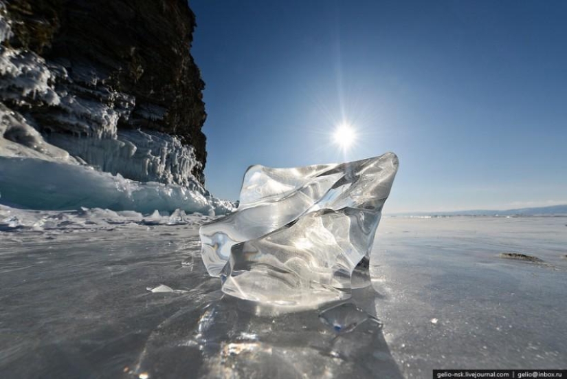
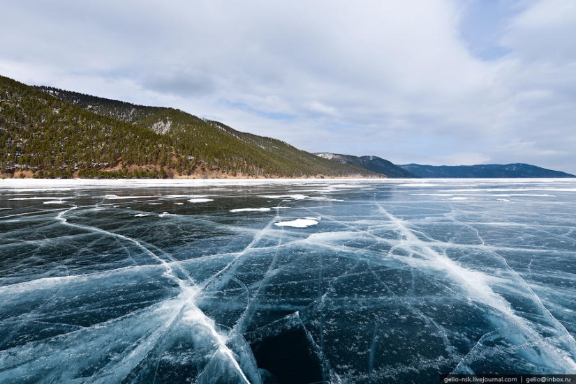
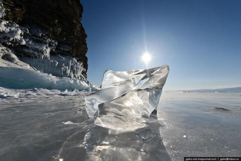
1. Winter Baikal is as beautiful as summer Baikal. After the water surface is covered with ice, even more opportunities open up to see the beauty of Baikal nature. Meter thick transparent dark ice, turquoise hummocks, ice grottoes with hanging icicles, and, most importantly, winter Baikal from a bird's eye view - in a post about this unique lake.
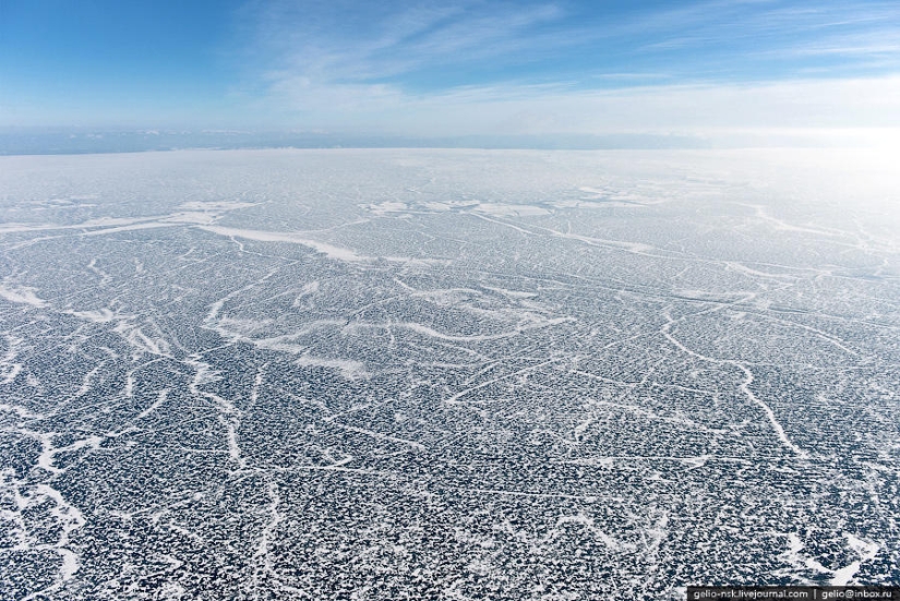
2. In terms of the area of the water surface, Baikal ranks sixth among the largest lakes in the world. The area of the frozen surface of Lake Baikal is more than 30 thousand km², which is approximately equal to the area of such countries as Belgium or the Netherlands.
3. The freezing period runs from the beginning of January to the beginning of May
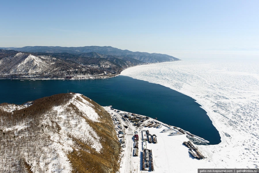
4. Baikal freezes entirely, except for a small area 15-20 km long, located at the source of the Angara. By the way, it is interesting that 336 rivers and streams flow into Baikal, and only one river flows out - the Angara.
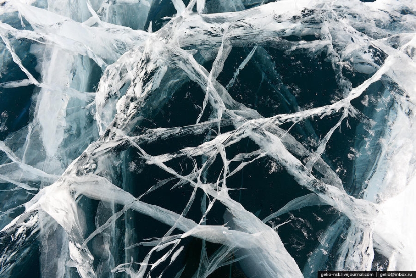
5. By the end of winter, the ice thickness on Baikal reaches 1 m, and in the bays - 1.5-2 m.
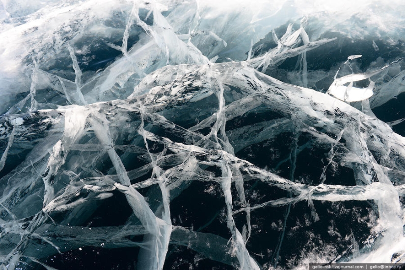
6. In severe frosts, cracks, which are locally called "stanovye cracks", break the ice into separate fields. The length of such fissures is 10–30 km, and the width is 2–3 m. The ruptures occur annually in approximately the same regions of the lake.
7. A huge layer of ice either shrinks or expands, creating a lot of pressure inside itself. They are accompanied by a loud crack, reminiscent of thunder or cannon shots.
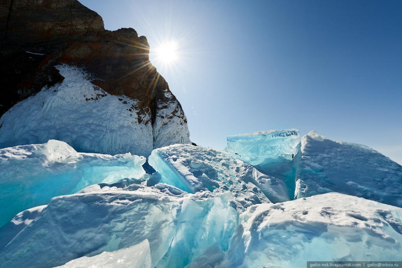
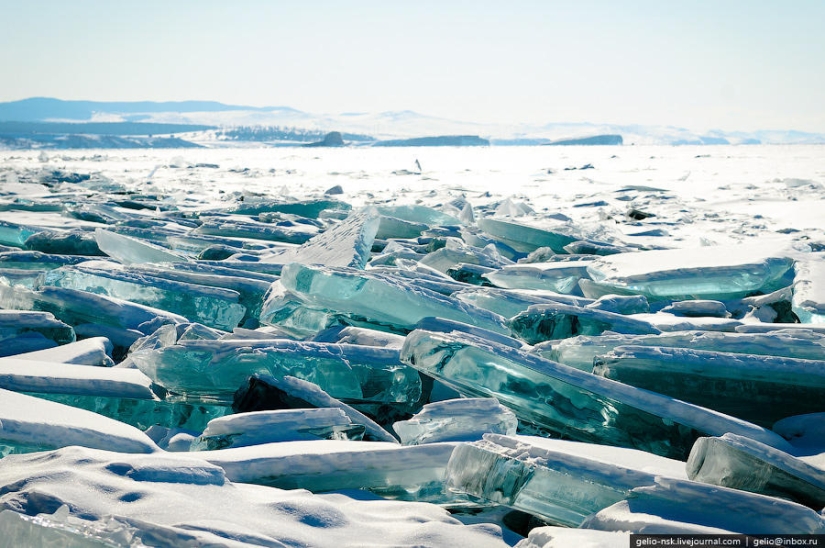
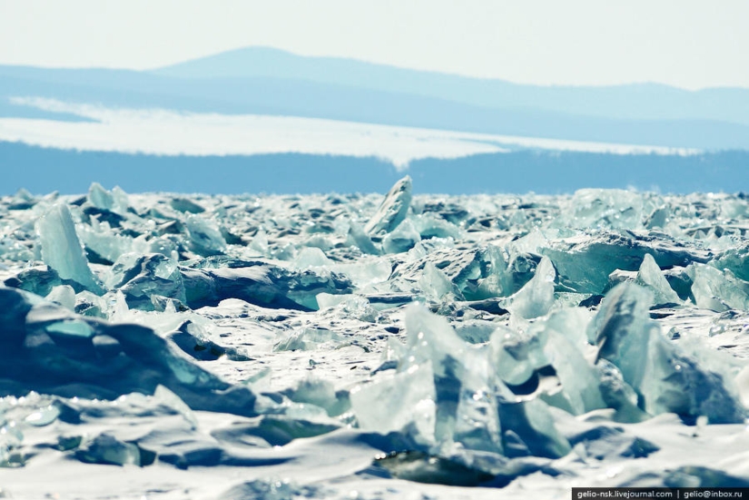
8. As a result, hummocks are formed along the backbone cracks - a heap of ice fragments.
9.
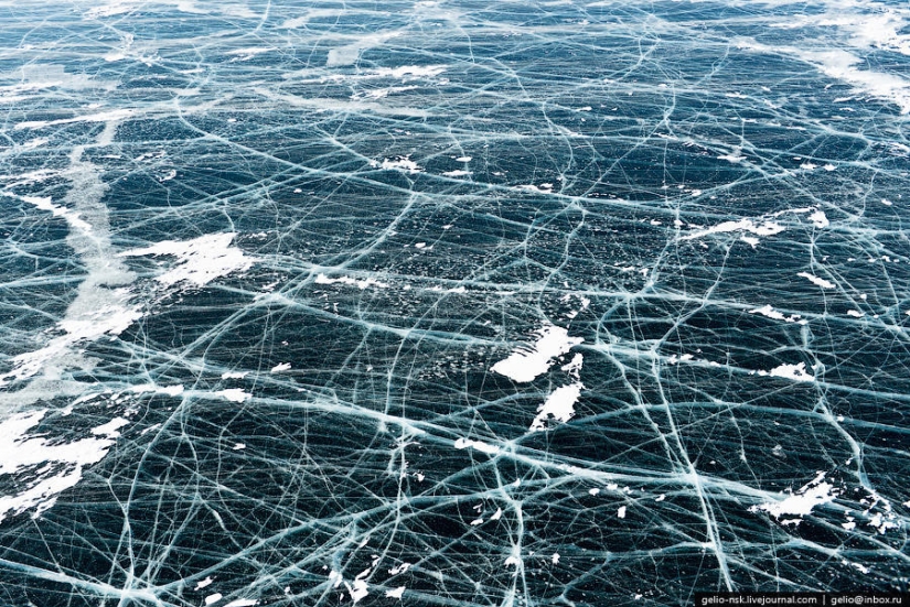
10. Thanks to the cracks in the ice, the fish in the lake do not die from lack of oxygen.
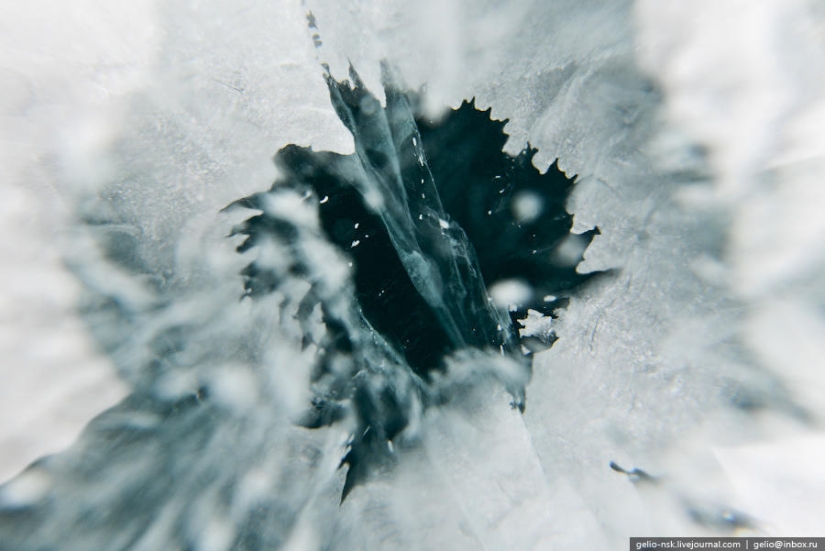
11. Horizontal cracks inside the ice surface
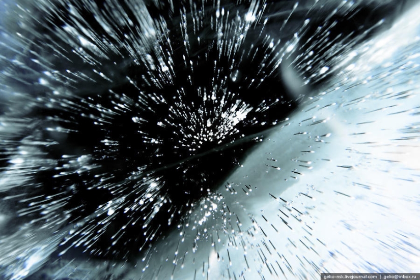
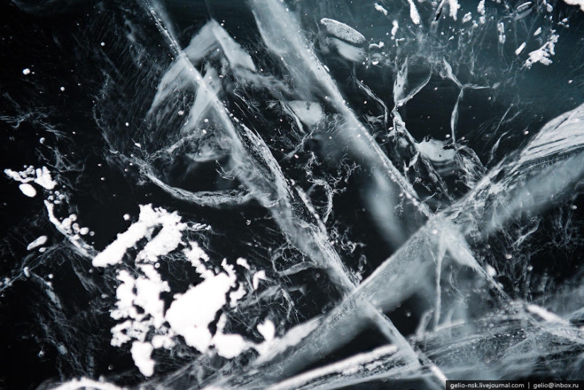
12. Frozen air forms bizarre columns in the surface layers of ice
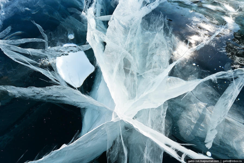
13. Baikal ice, in addition, is very transparent, and the sun's rays penetrate through it, so planktonic algae, which release oxygen, flourish in the water.
14.
15.
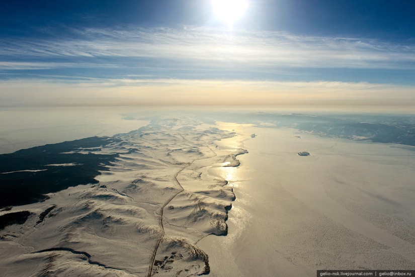
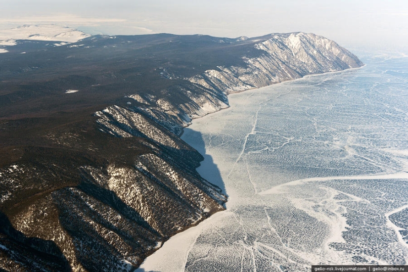
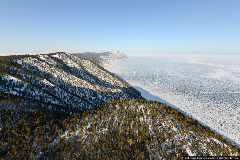
16. Olkhon. The largest and only inhabited island of Lake Baikal. Length - 71 km, width - up to 12 km.
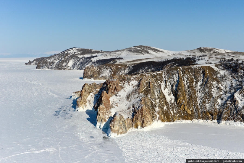
17. With the northwestern shore of the lake, it forms the straits of the Small Sea and the Olkhon Gates.
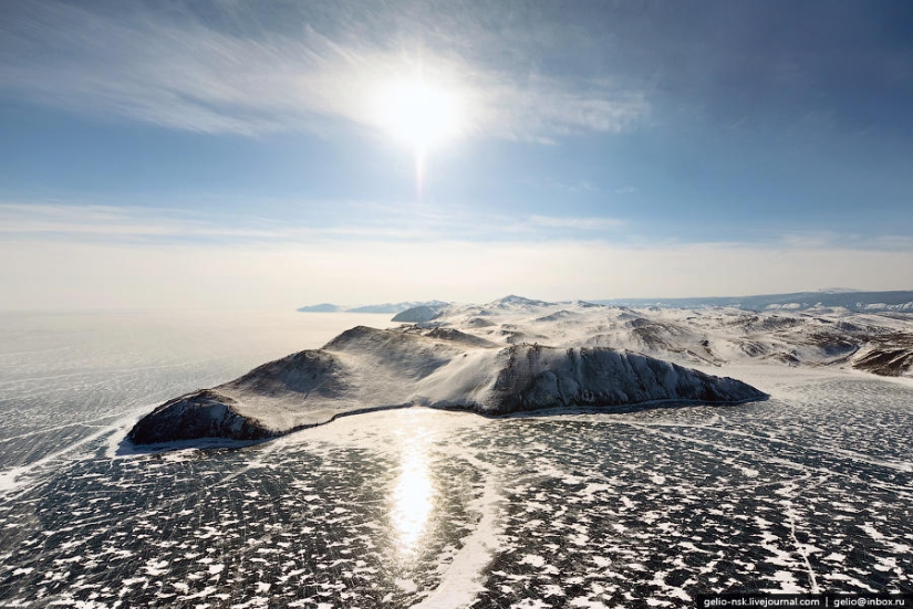
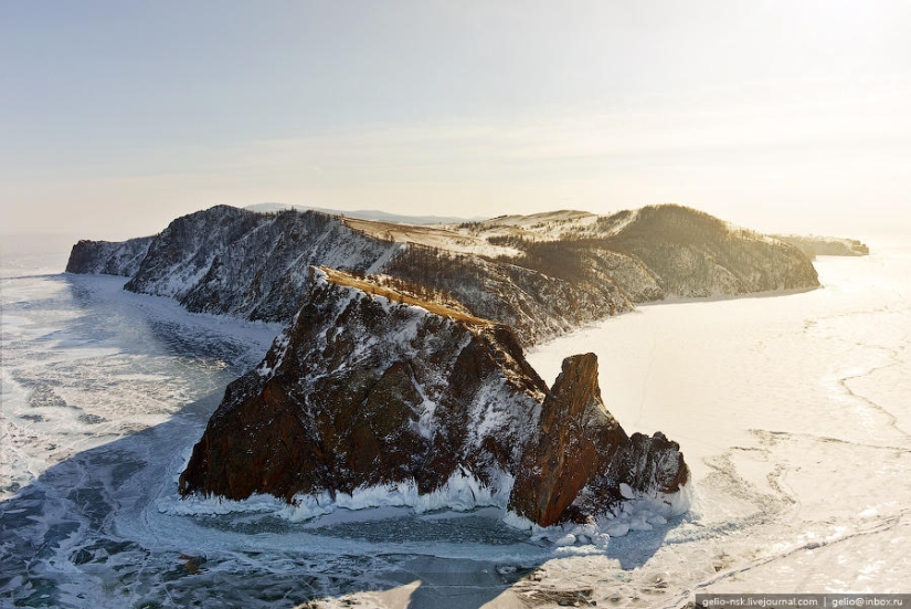
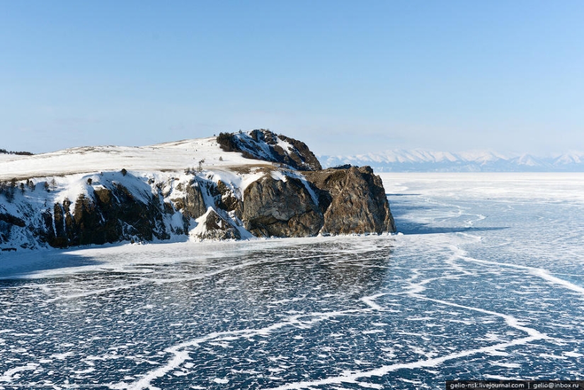
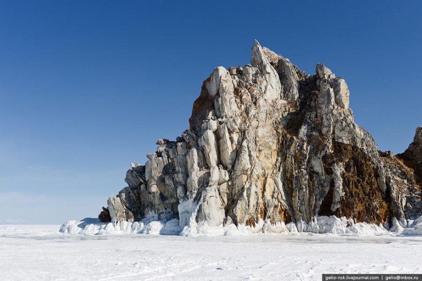
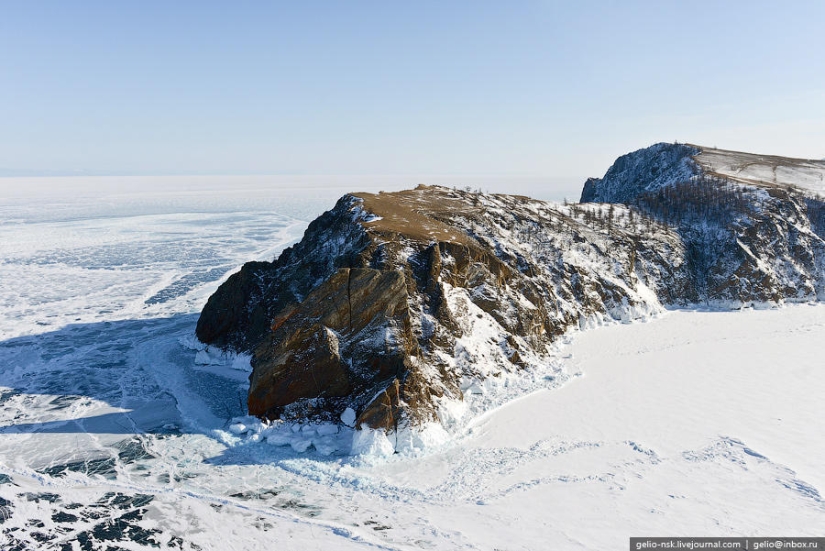
18. Strait Olkhon gates. Cape Cross
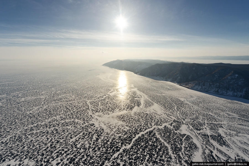
19. Not far from the outer side of Olkhon - the deepest place of Baikal (1642 m).
20. Mount Zhima - the highest point of the island. Height above sea level is 1274 meters, height above Baikal is 818 meters.
21.
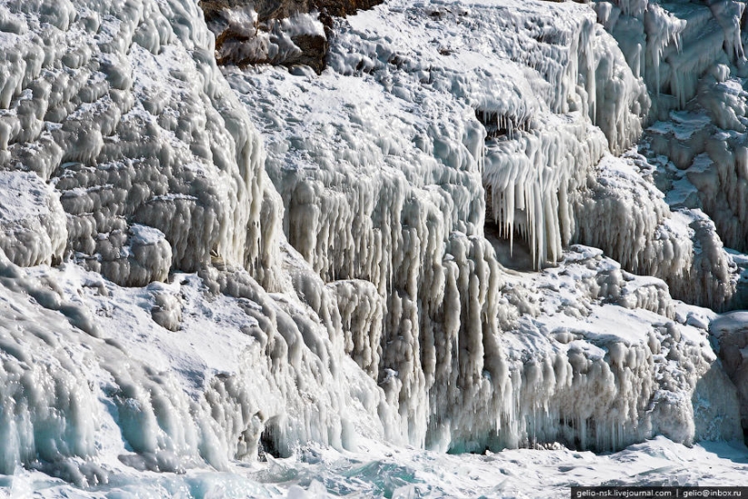
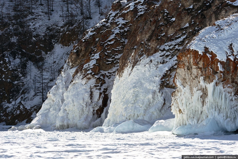
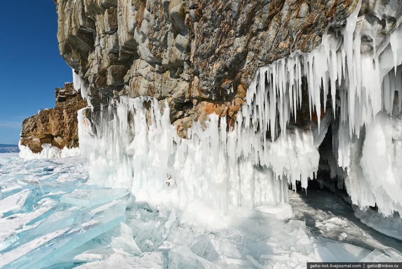
22. Cape Khoboy - the northernmost point of Olkhon. It is located near the widest point of Baikal (79.5 km).
23. Khoboy translated from the Buryat "fang"
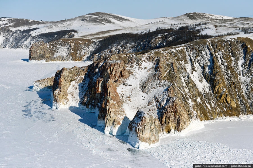
24. Rock Three Brothers (Cape Sagan-Khushun)
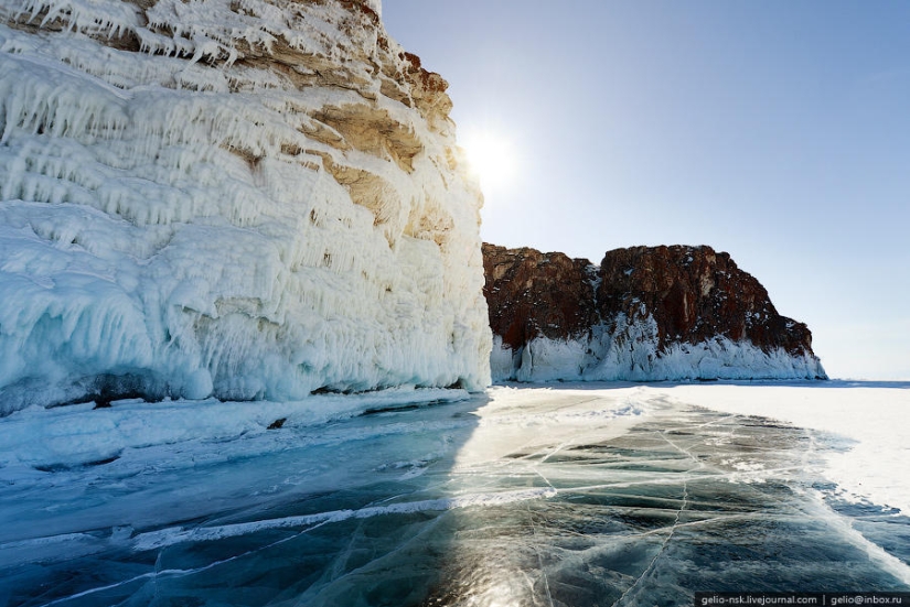
25.
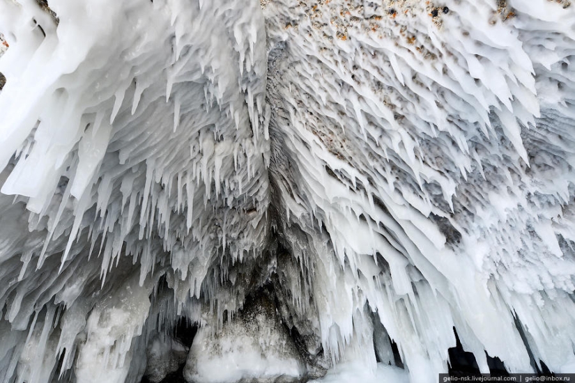
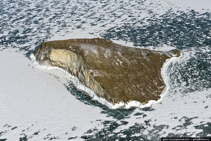
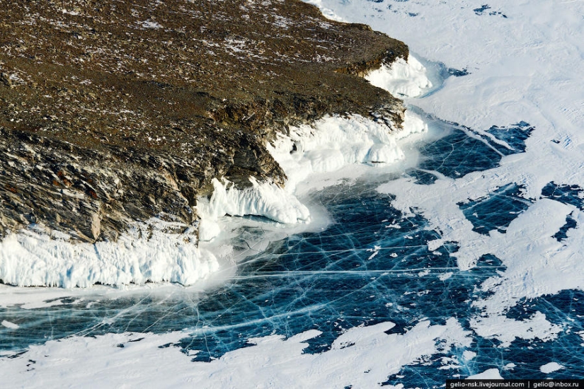
26. Ice grotto and splashes (splashes).
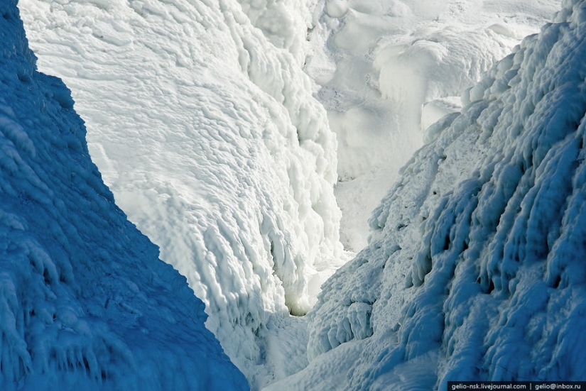
27. These splashes on the stones are formed when the lake freezes at the very beginning of winter. They are called sokui.
28. Sokui grows especially fast during strong winds accompanied by a snowstorm, when the wind splashes on the sokui, in addition to water, a lot of wet snow.
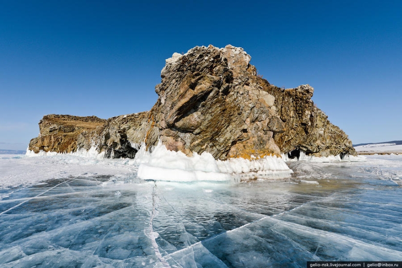
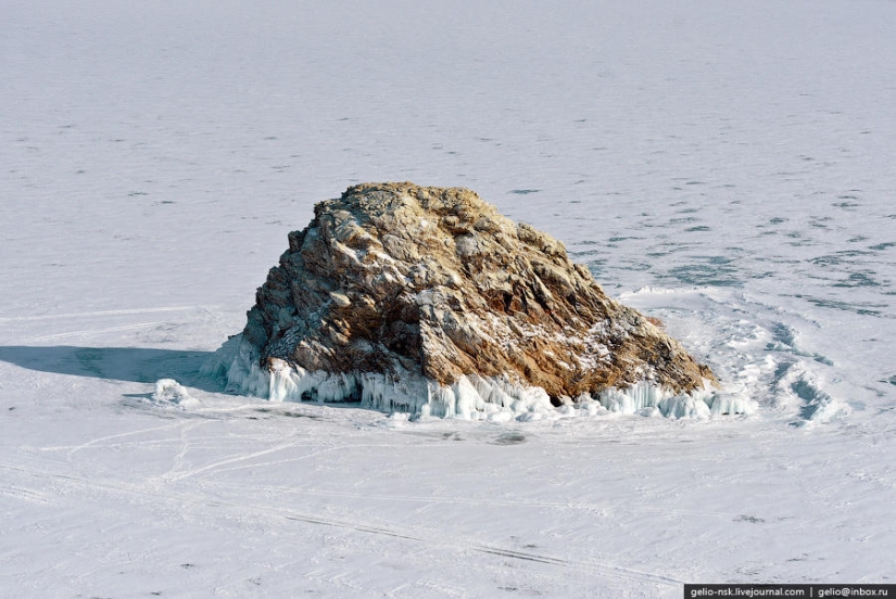
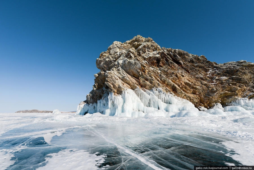
29.
30. Harantsy Island
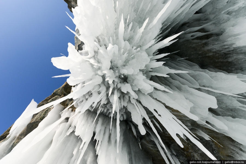
31.
32.
33. Edor Island ("Lion's Head")
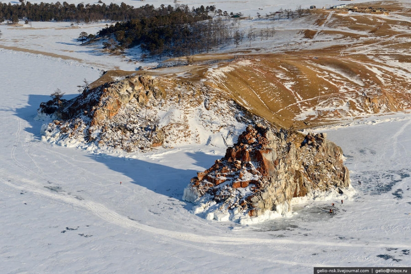
34.
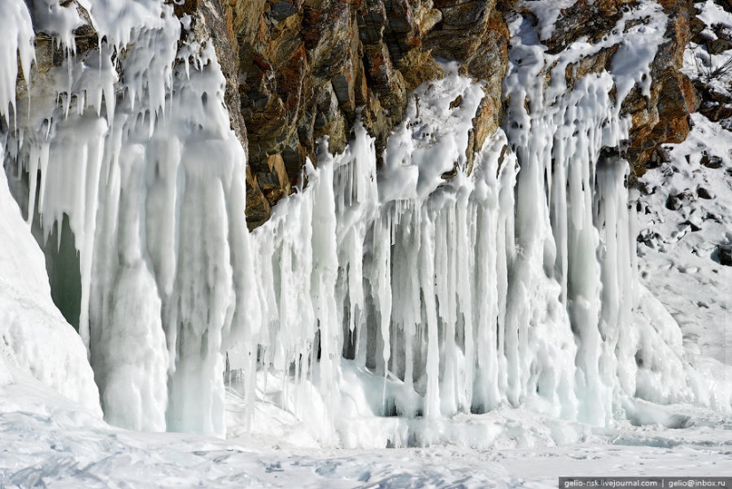
35. Ice icicles in the grotto
36.
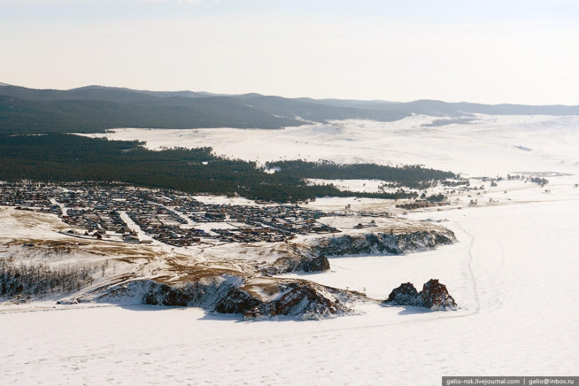
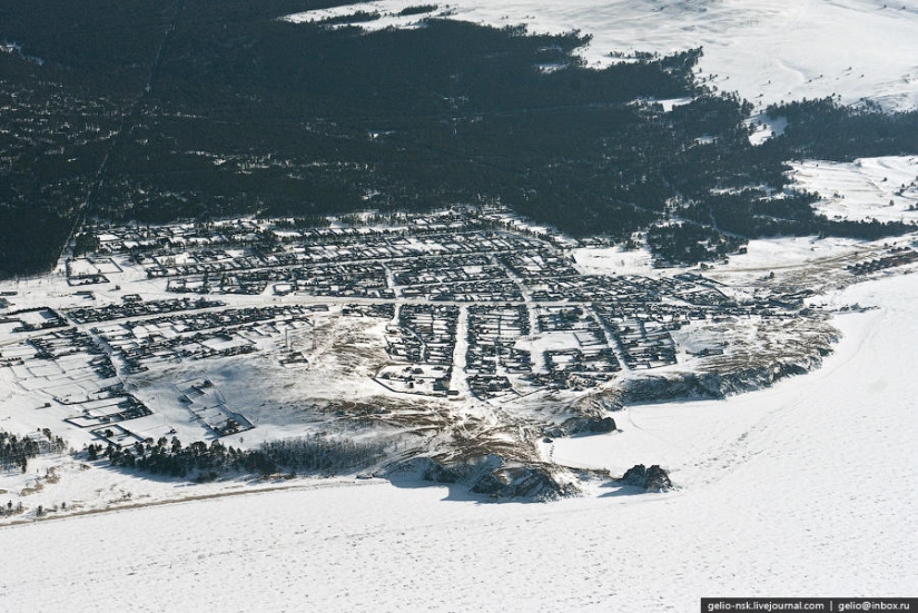
37.
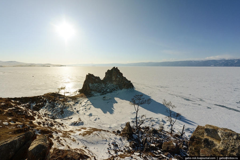
38. Rock Shaman. One of the shrines of Asia, which has become the famous image of Baikal
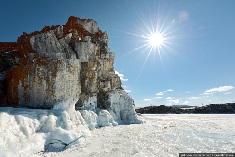
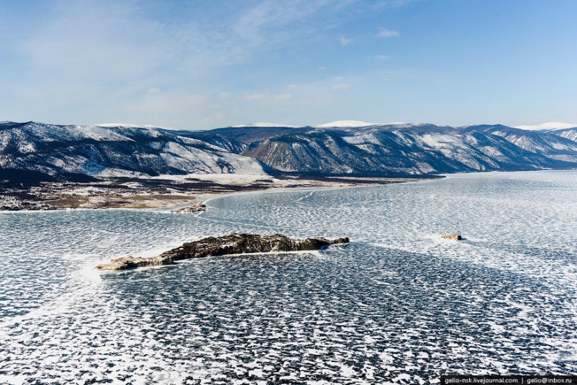
39. The two-peak rock is composed of marble and dolomitic limestone, in places abounding in graphite spangles. The surface of the rock is covered with bright red lichens.
40. The name of the cape "Burkhan" appeared after the penetration of Tibetan Buddhism into the Baikal region at the end of the 17th century. Buryat-Buddhists began to call the main deity of Baikal with the word "Burkhan". And Cape Burkhan with a through cave in the Shaman-rock was considered his dwelling place.
41. Near the cape is the village of Khuzhir with a population of 1.3 thousand inhabitants - the largest settlement on the island.
42. At present, the main occupation of local residents is to serve the tourist flow. Electricity appeared here only in 2005.
43. Oltrek Island and Borga Dagan. Clearly visible traces of snow drifts.
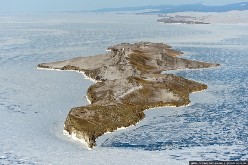
44. Ogoy Island
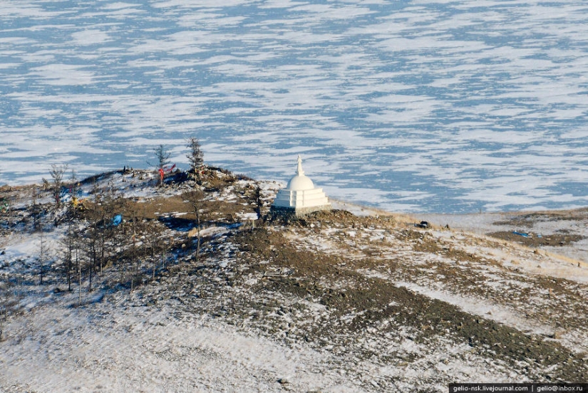
45. Stupa of enlightenment on the top of the island
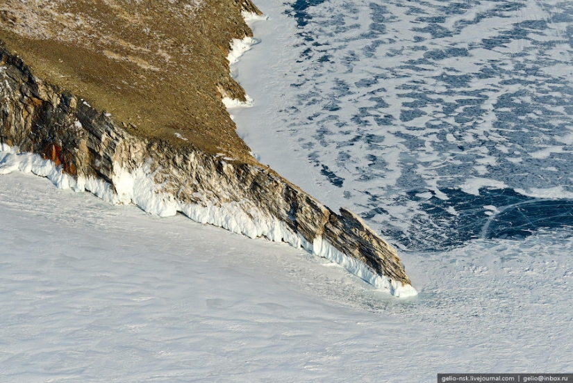
46. Cape Ogoy
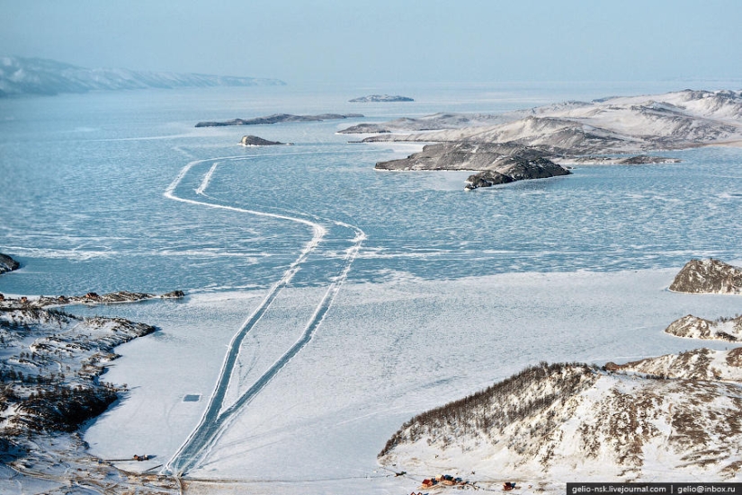
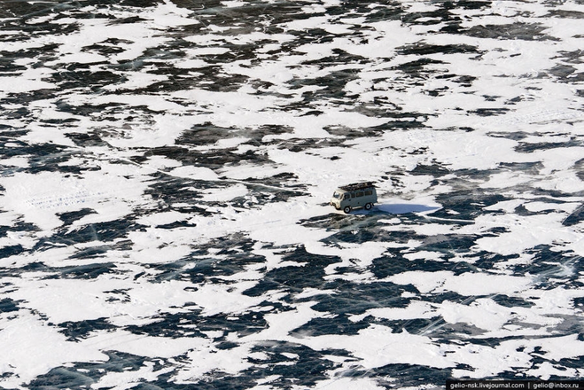
47. In winter, Olkhon Island is connected to the mainland by an ice crossing. Its length is just over 10 kilometers.
48.
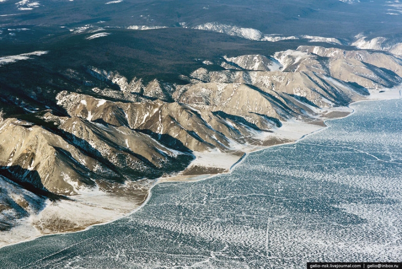
49. Seaside Ridge
50.
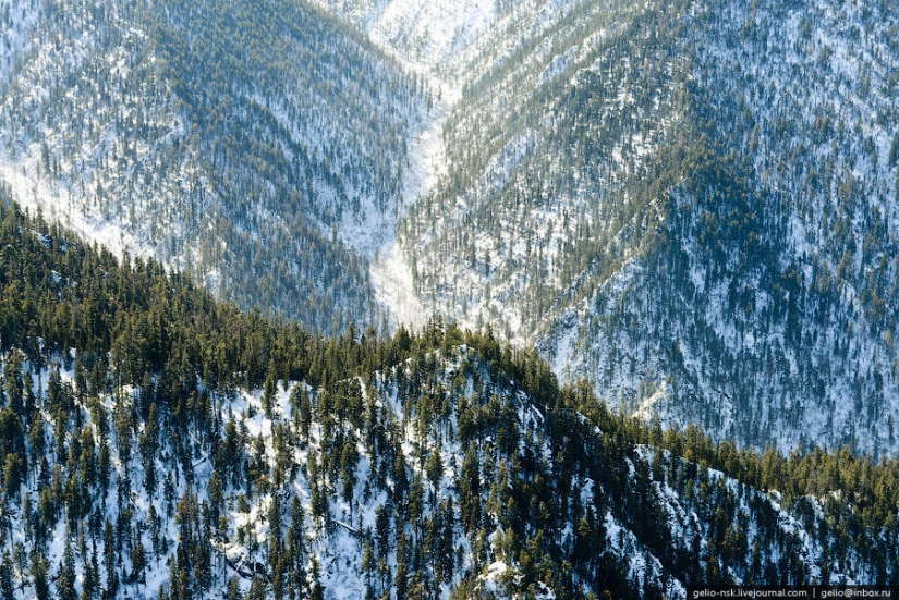
51.
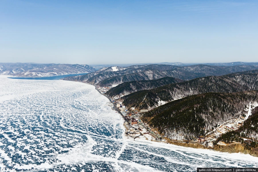
52. The village of Listvyanka. Tourism is the backbone of the village's economy. Here they sell Baikal omul and souvenirs. From here to Irkutsk is 65 kilometers.
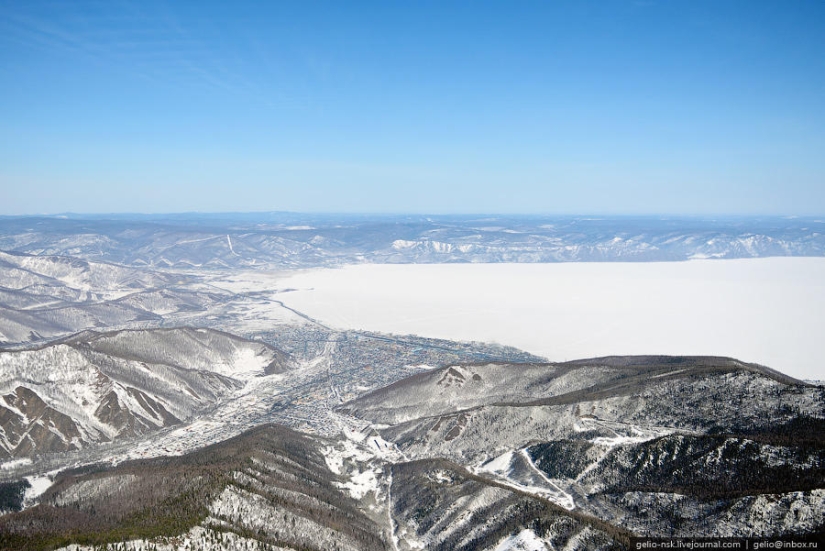
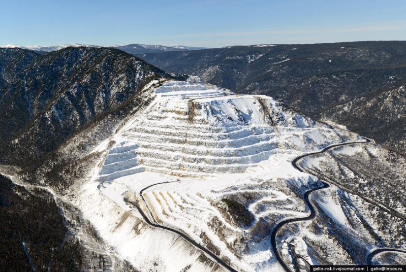
53. The westernmost point of Baikal
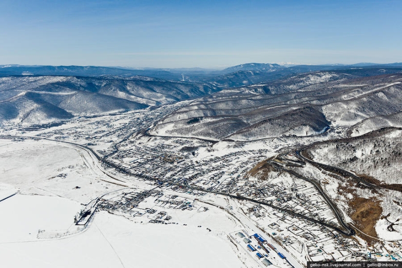
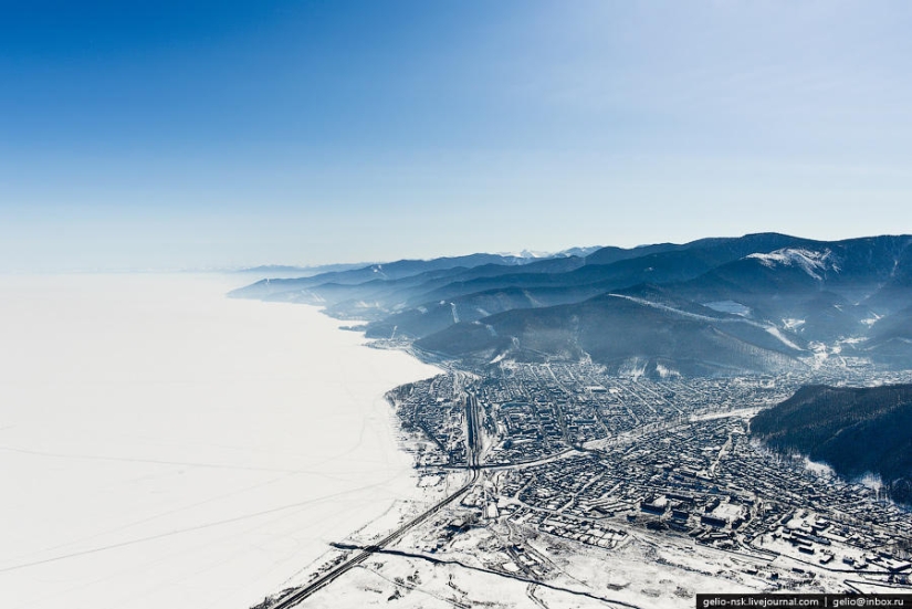
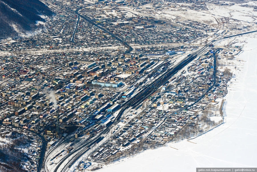
54. Kultuk
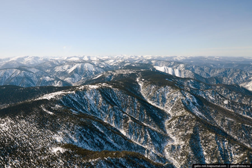
55. Khamar-Daban is the oldest massif of the planet, stretching from west to east for more than 350 km.
56. The border of the Irkutsk region and Buryatia passes along the Khamar-Daban ridges.
57. Marble Quarry
58. City of Slyudyanka
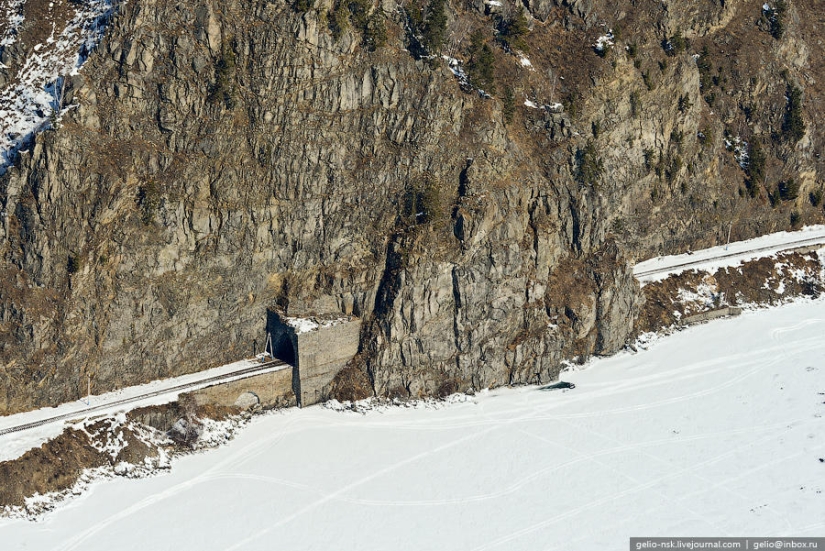
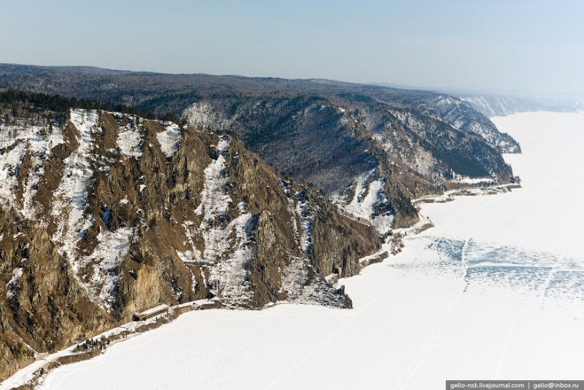
59. The Circum-Baikal Railway originates from the city.
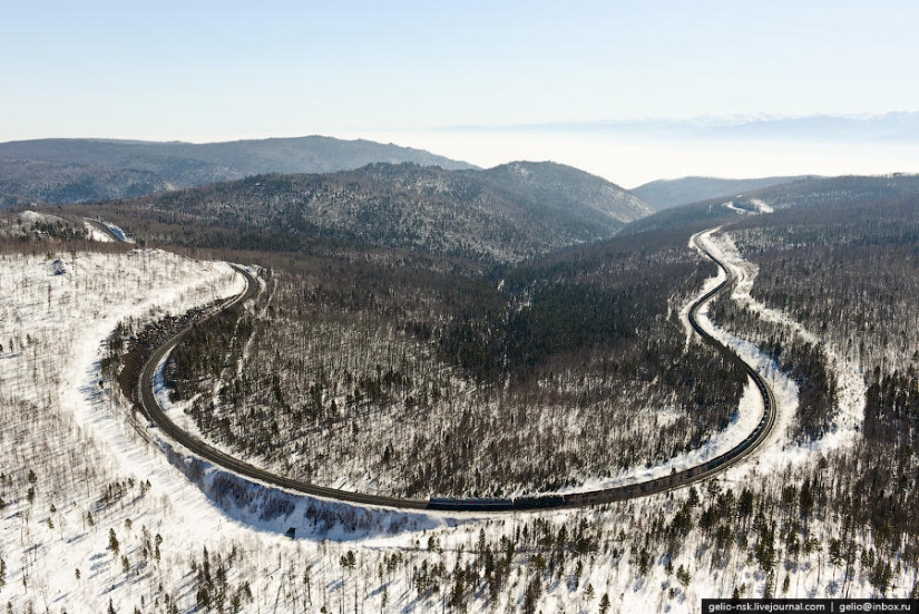
60. The main course of the Trans-Siberian Railway. Angasol loop. This duplicate section of the Circum-Baikal Railway from Slyudyanka to Irkutsk was put into operation in 1949.
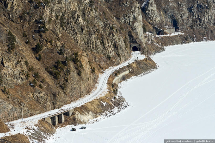
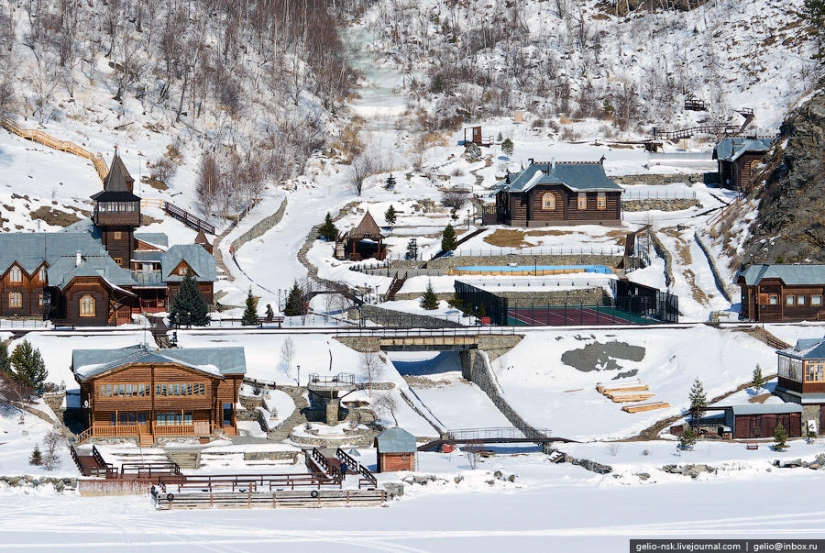
61. Before the introduction of the duplicate section, there was another, now historical, railway that ran along the northern coast of the southern tip of Lake Baikal from Slyudyanka to the village of Baikal along the southern part of the Olkhinsky plateau.
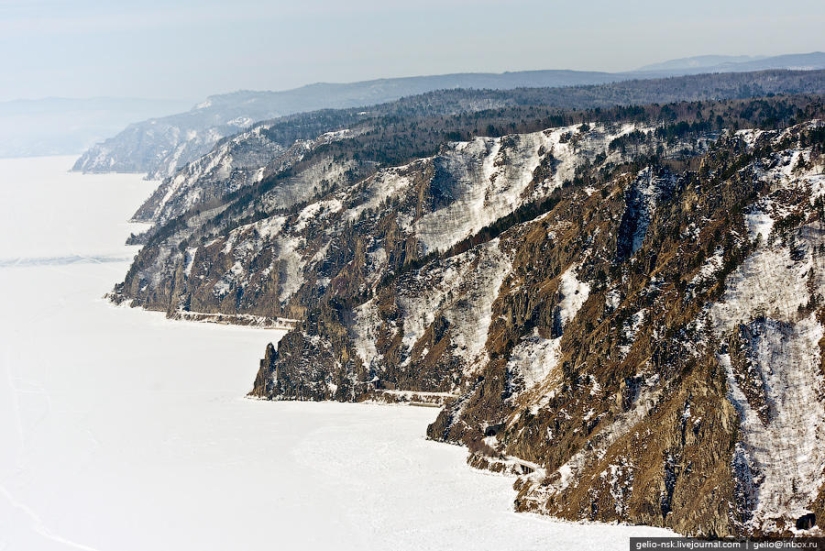
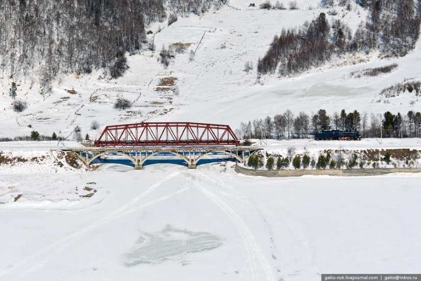
62. Currently, the Circum-Baikal Railway is called a branch with a length of 89 km.
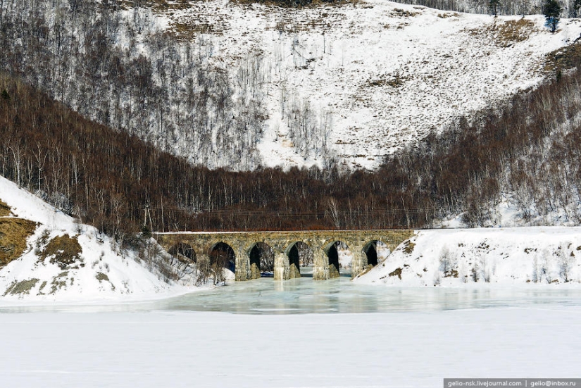
63. The Circum-Baikal Railway uses 38 tunnels with a total length of 9063 m (the longest of them is the tunnel through Cape Polovinny with a length of 777.5 m), 15 stone galleries with a total length of 295 m and 3 reinforced concrete galleries with holes, 248 bridges and viaducts, 268 retaining walls .
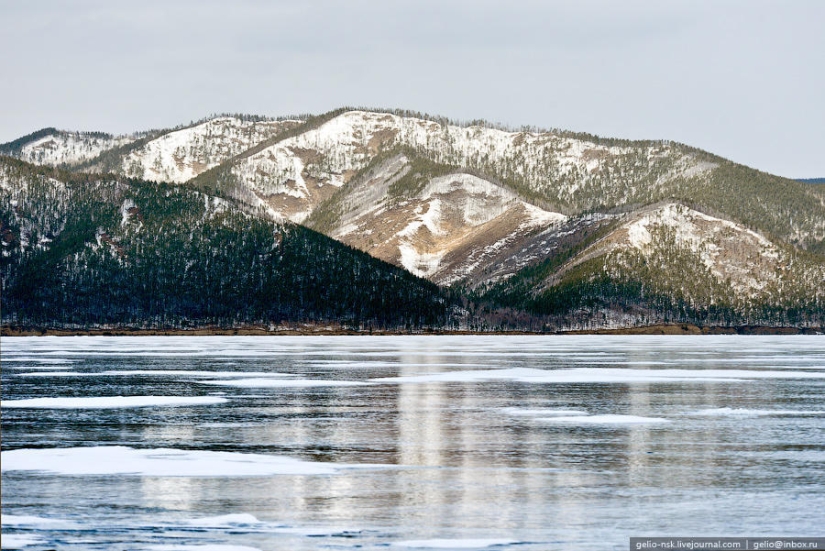
64. In terms of saturation with engineering structures, the Circum-Baikal Railway has no equal in Russia and occupies one of the first places in the world.
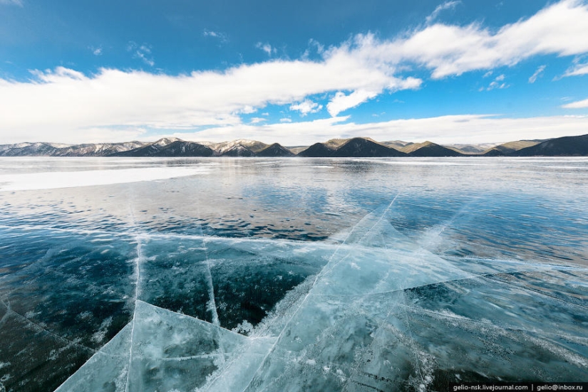
65. Recreation center Sharazhalgay
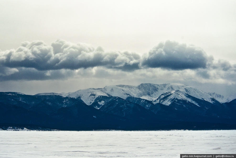
66. Railway bridge across the Polovinnaya river
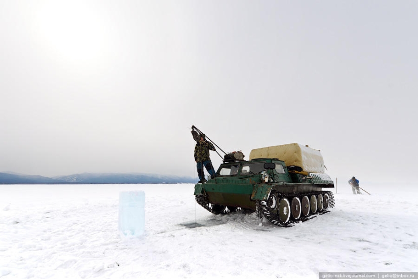
67.
68.
69.
70. Formation of clouds over mountains in Buryatia
71. Baikal limnologists. Limnology is the science of the physical, chemical and biological aspects of lakes and other fresh water bodies.
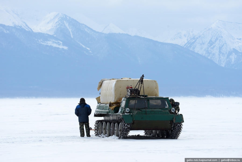
72.
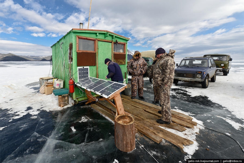
73. Station of limnologists on the ice near the village of Bolshiye Koty
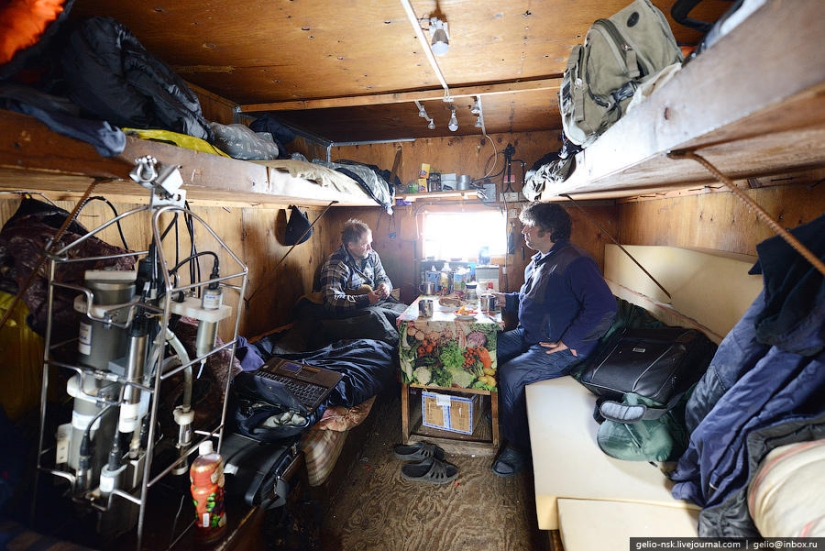
74. Interior. The American equipment, which can be seen on the left in the photo, costs about $35,000. It is lowered to the bottom of Lake Baikal at different points to read various data on the state of the lake.
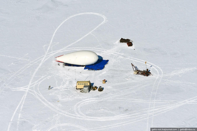
75. Aerostat
76.
Keywords: Baikal | Winter | Lake | Siberia
Post News ArticleRecent articles

It's high time to admit that this whole hipster idea has gone too far. The concept has become so popular that even restaurants have ...

There is a perception that people only use 10% of their brain potential. But the heroes of our review, apparently, found a way to ...
Related articles

Drifts of snow, frost and sun, winter fun — c Soviet time, little has changed for this time of year. Feel the true atmosphere ...

It is no secret that all things in nature are subject to cyclic changes that are associated with the seasons. The human body is no ...

While the children play in the snow, and adults are happy new year's gifts, cat quietly curse the winter. After all, it is this ...

New Year's is a time to surprise and delight loved ones not only with gifts but also with a unique presentation of the holiday ...