What does the end of the earth look like
Categories: Nature
By Pictolic https://pictolic.com/article/what-does-the-end-of-the-earth-look-like.htmlIn the Great Australian Bight in South Australia is the vast and empty Nullarbor Plain - the real end of the world. It is the world's largest single piece of limestone, covering an area of 270,000 square kilometers. It stretches for 1000 km from east to west. The surface of the plain is so flat that a straight line of the Trans-Australian Railway stretches here for 483 km. The plain ends abruptly with the cliffs of the Bund, which form a 200 km long cliff that curves around the Great Australian Bight.
(Total 11 photos)
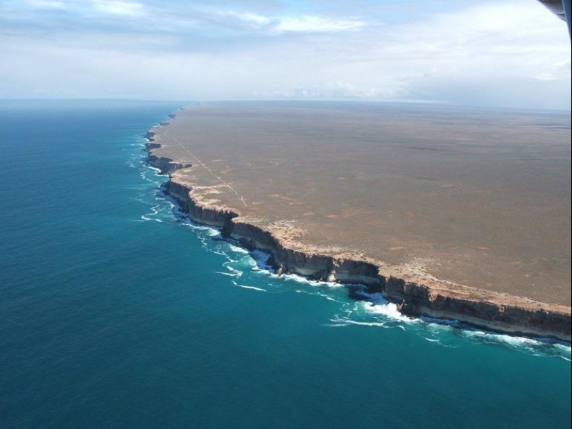

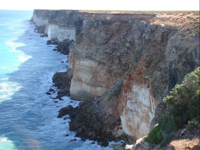
1. The cliffs of the Bund form the southern end of the Nullarbor Plain, which stretches further. The white base near the bottom of the cliffs is Wilson Bluff limestone.
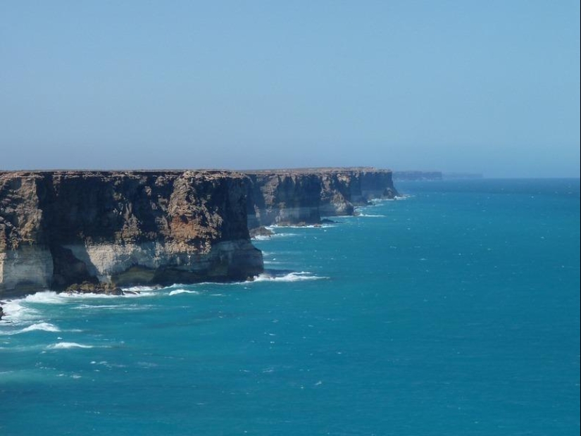
2. This chalky material was formed on the ancient seafloor when Australia began to separate from Antarctica 65 million years ago. The thickness of this limestone layer is 300 meters, but only its upper layer is visible on the cliffs.
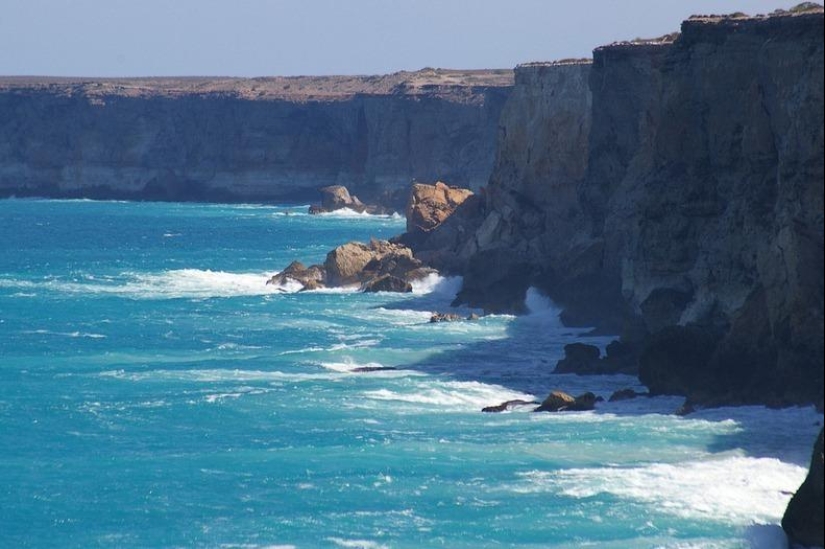
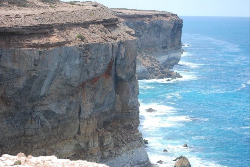
3. Above this limestone layer are whitish, gray and brown layers of limestone or crystalline rock. Some layers contain marine fossils, including worms and molluscs, indicating their marine origin. Other layers consist exclusively of a marine segment (foraminifera). Crowning the cliffs is a hardened layer of wind-blown sand that is between 1.6 million and 100,000 years old.
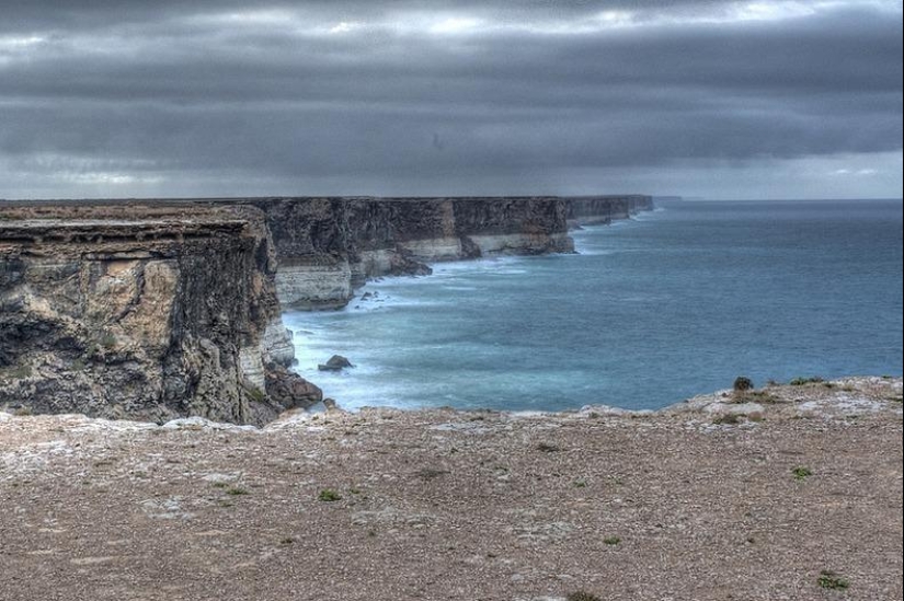
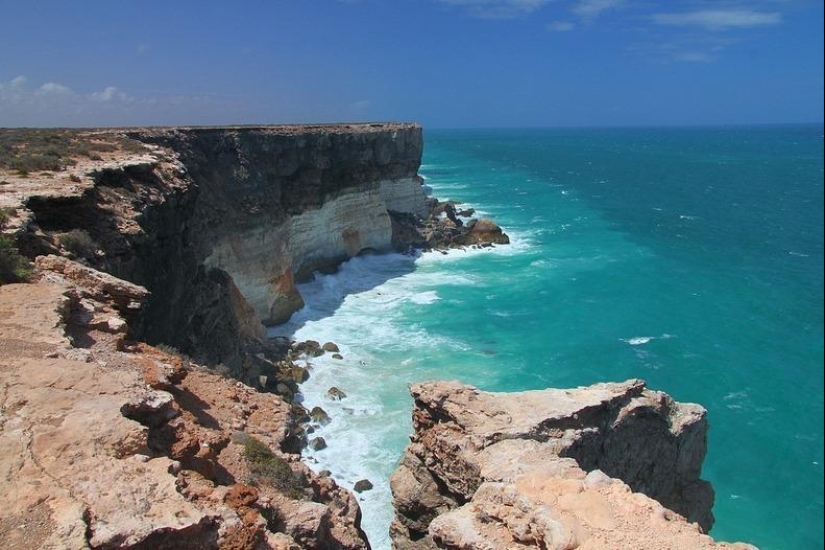
4. The cliffs reach 60-120 meters in height, and you can look at them from several points on the Eyre Highway. Although it is best to look at them, of course, from the air.
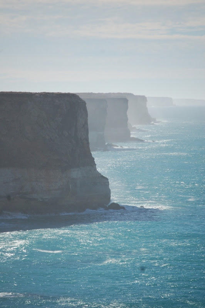
5. The Eyre Highway, Australia's main east-west road, follows this stunning coastline less than a kilometer from the edge.
6. The highway was named after Edward John Eyre, who, along with John Baxter and three Aborigines, attempted to reach Albany in Western Australia across the Nullarbor Plain. Due to the lack of water and the most difficult conditions, a mutiny broke out, and two natives killed John Baxter and fled.
7. Eyre and the third native continued their journey and completed it in June 1841. The Eyre Highway was laid exactly one hundred years later - in 1941.
8. At a distance of 85 km along the highway there are five main vantage points that offer excellent views of the cliffs.
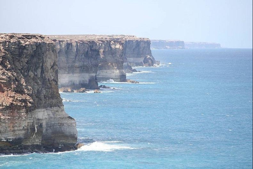
9. The western point is the most popular because tourists can walk along the rock that sticks out from the cliffs and enjoy the amazing view.
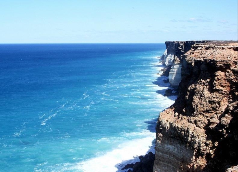
10. At the eastern end of the cliffs is another place where you can spend hours watching southern right whales that frolic in the ocean below.
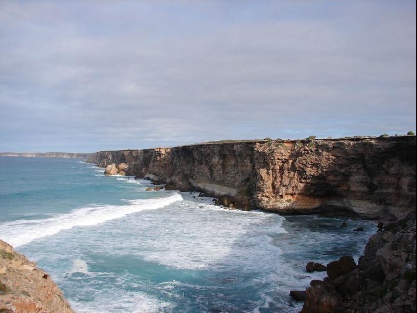
11. Southern right whales migrate here in the fall to give birth in the coastal waters along the South Australian coast, and then stay here until their calves reach the desired weight.
Recent articles

It's high time to admit that this whole hipster idea has gone too far. The concept has become so popular that even restaurants have ...

There is a perception that people only use 10% of their brain potential. But the heroes of our review, apparently, found a way to ...
Related articles

The Internet is millions of computers connected to each other in different ways. Despite all the achievements of science and ...

Especially for you, we have selected the most beautiful pictures of unusual natural creations - bizarre and picturesque sea cliffs. ...

Alexey Solomatin writes: «The village of Polperro is located on the Cornwall peninsula a few kilometers from the town of Looe, ...

New Year's is a time to surprise and delight loved ones not only with gifts but also with a unique presentation of the holiday ...