15 amazing images of Earth from satellite
Categories: Aerophoto
By Pictolic https://pictolic.com/article/15-amazing-images-of-earth-from-satellite.htmlUnique picture of our planet's incredible beauty, the authenticity of which is hard to believe. Mountains, clouds and oceans form incredible landscapes of vivid colors here and there is a sense of unreality. These adorable images reveal the Earth from a completely different side.
(Total 15 photos)
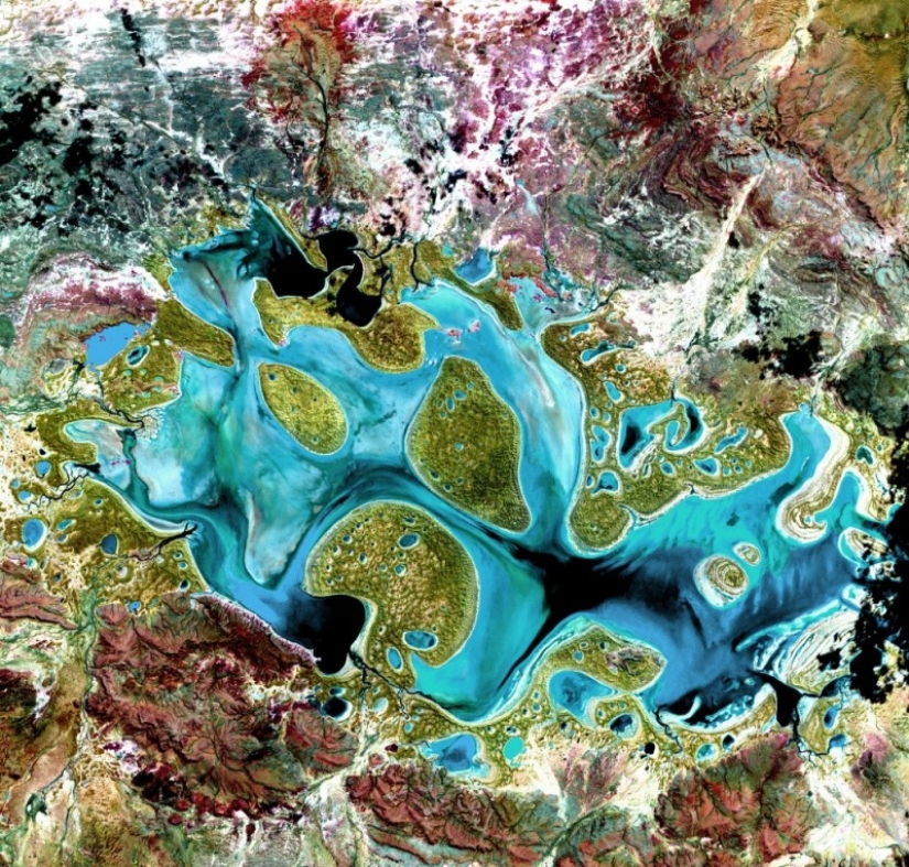
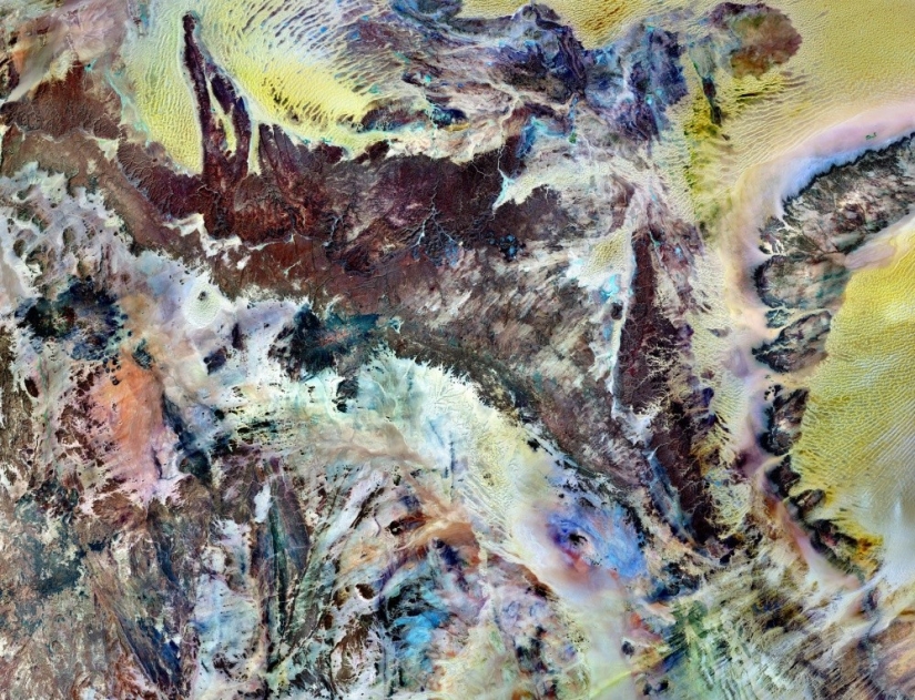
1. The Tassili, the adjer plateau in the South-Eastern part of Algeria, in the Sahara desert.
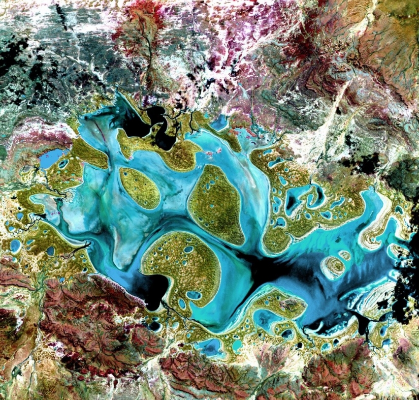
2. Lake Carnegie in Australia.
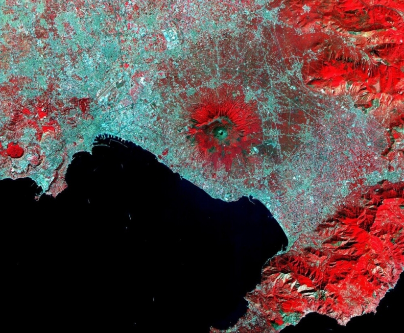
3. Vesuvius, an active volcano in southern Italy.
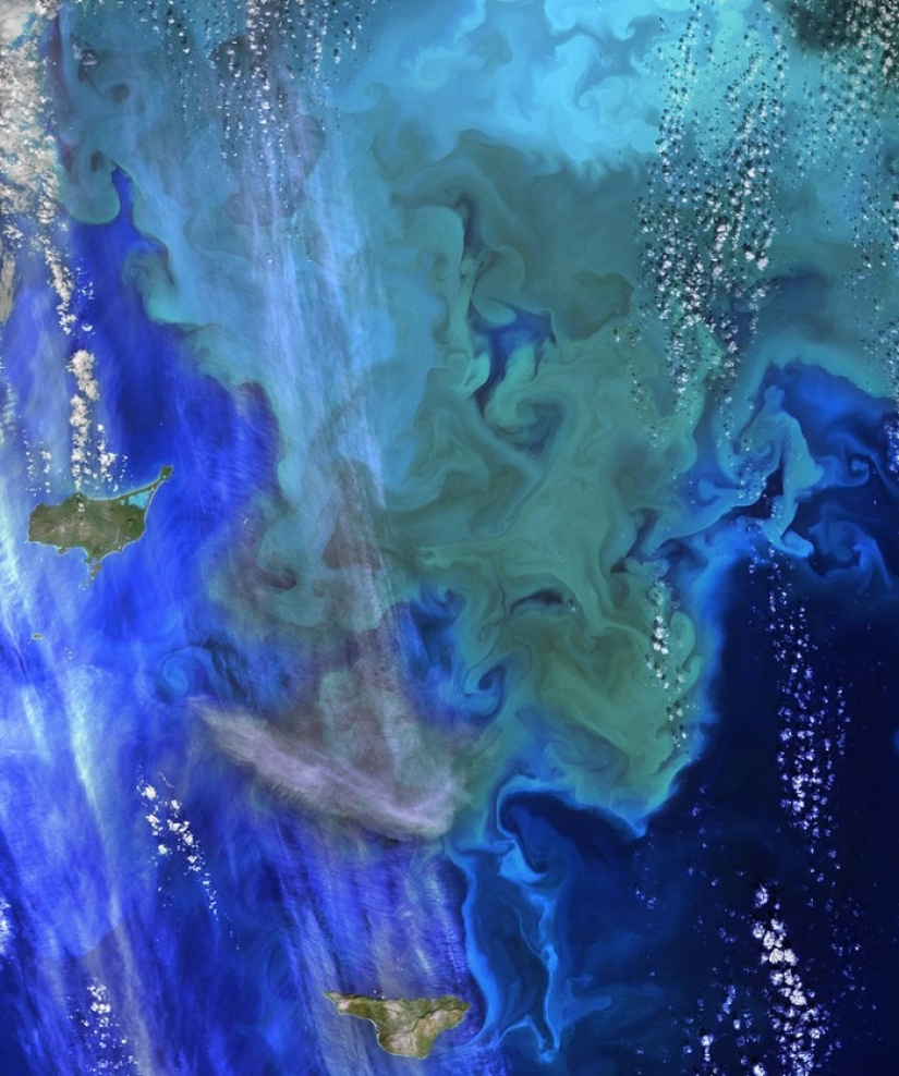
4. The Pribilof Islands in the Bering sea.
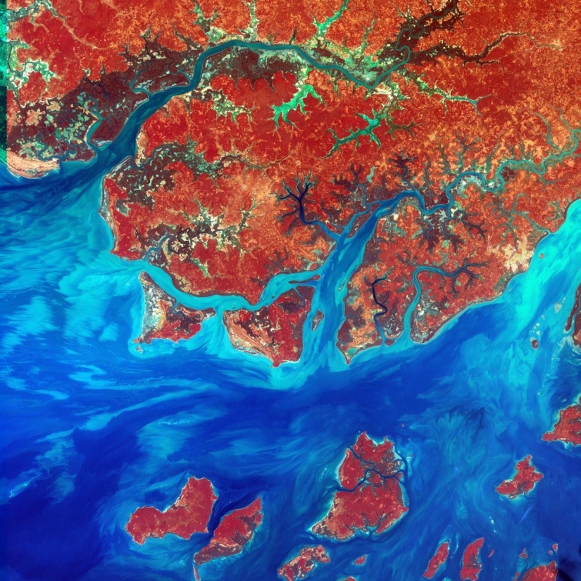
5. The Republic Of Guinea-Bissau, West Africa.
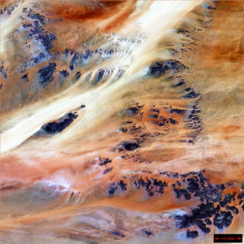
6. The Republic Of Chad, Central Africa.
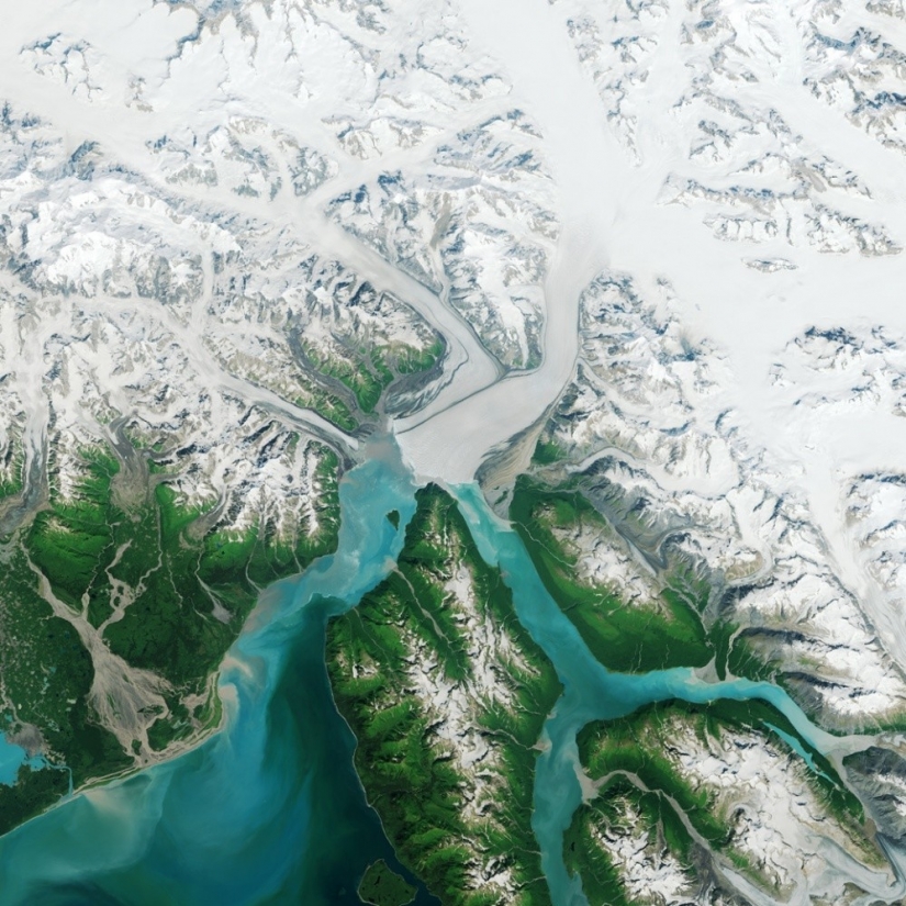
7. Alaska, North-Western margin of North America.
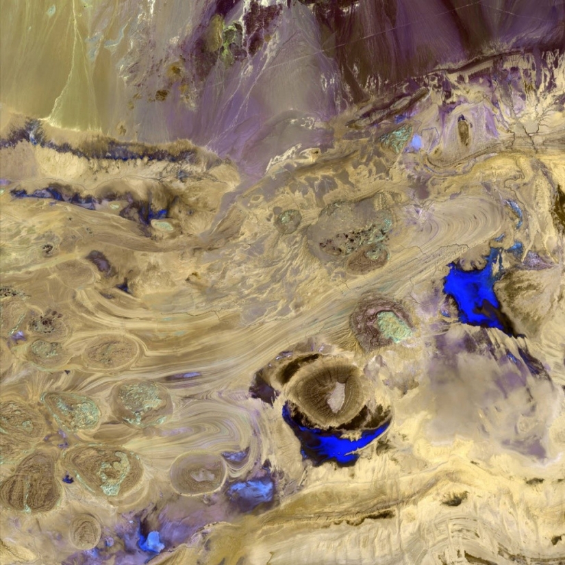
8. Great Salt desert, the Northern part of Iranian plateau.
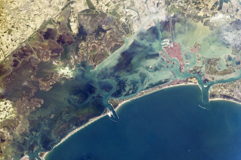
9. The Venetian lagoon.
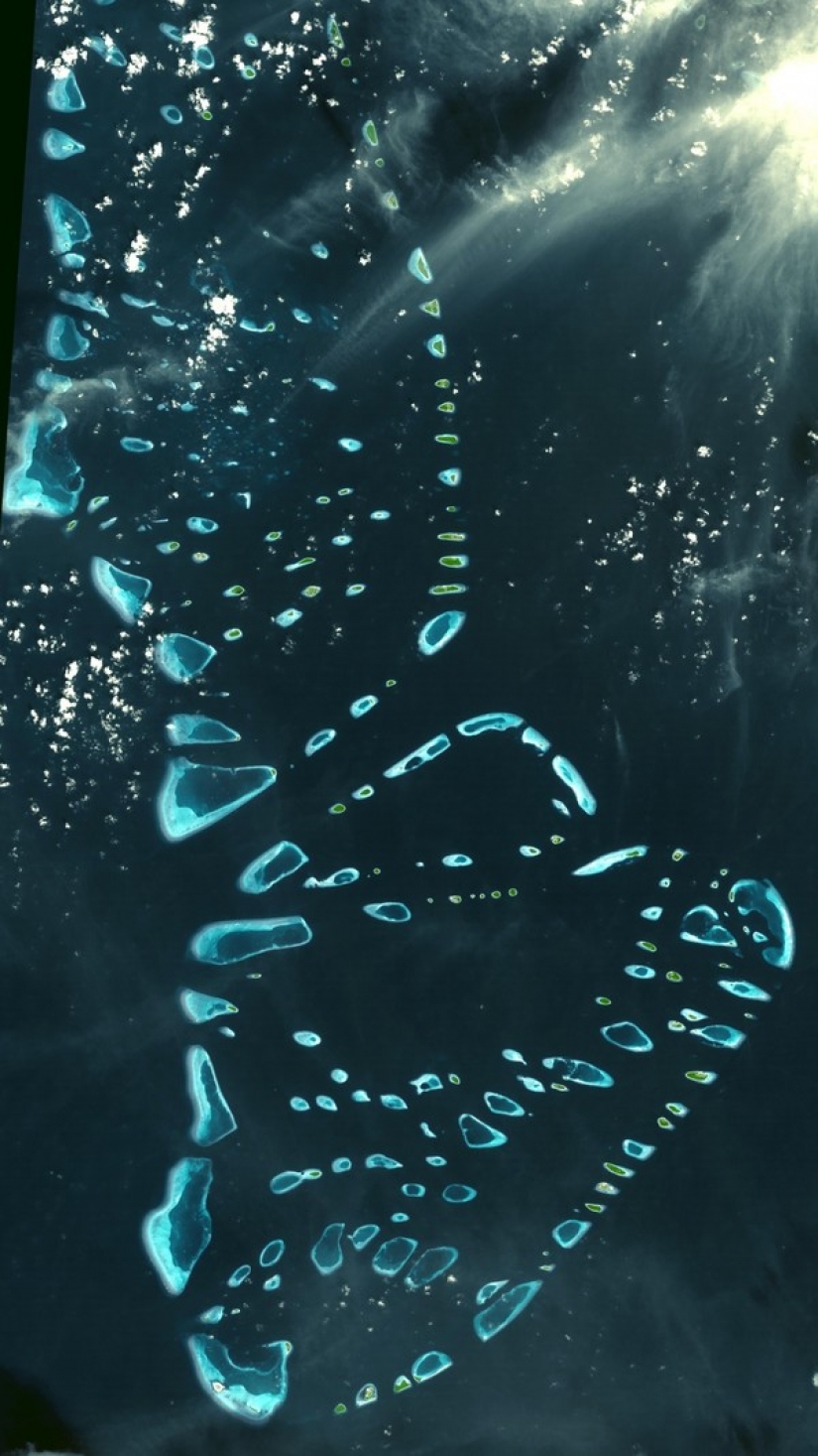
10. The Maldives, Indian ocean.
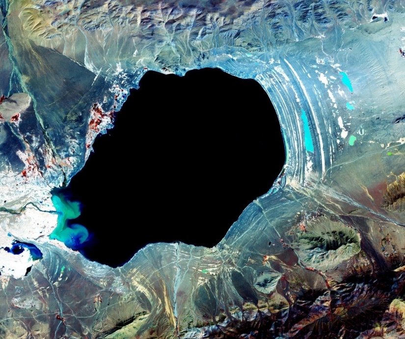
11. Large mountain lake in Tibet.
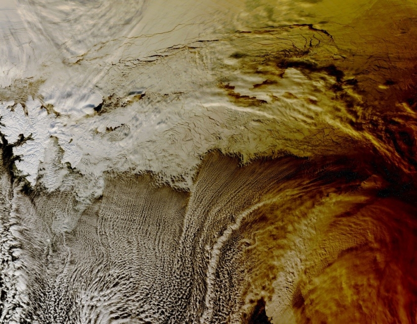
12. The shadow of the solar Eclipse over clouds in the Arctic ocean.
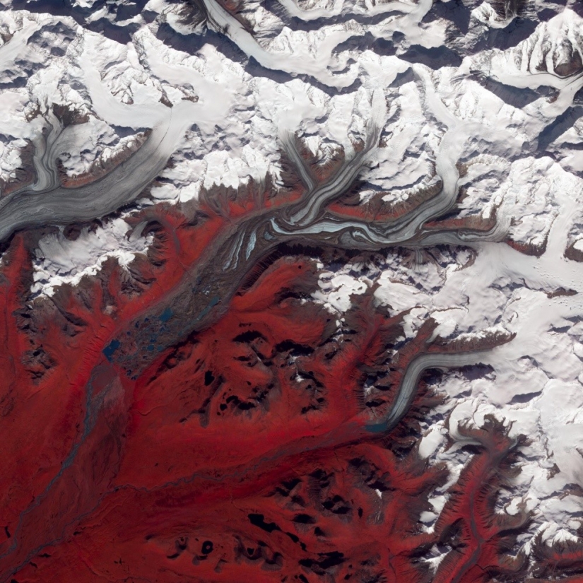
13. The Glaciers Of Alaska, North America.
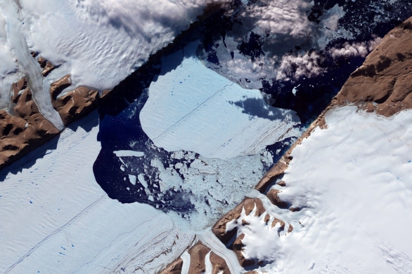
14. Petermann glacier, North-Western Greenland.
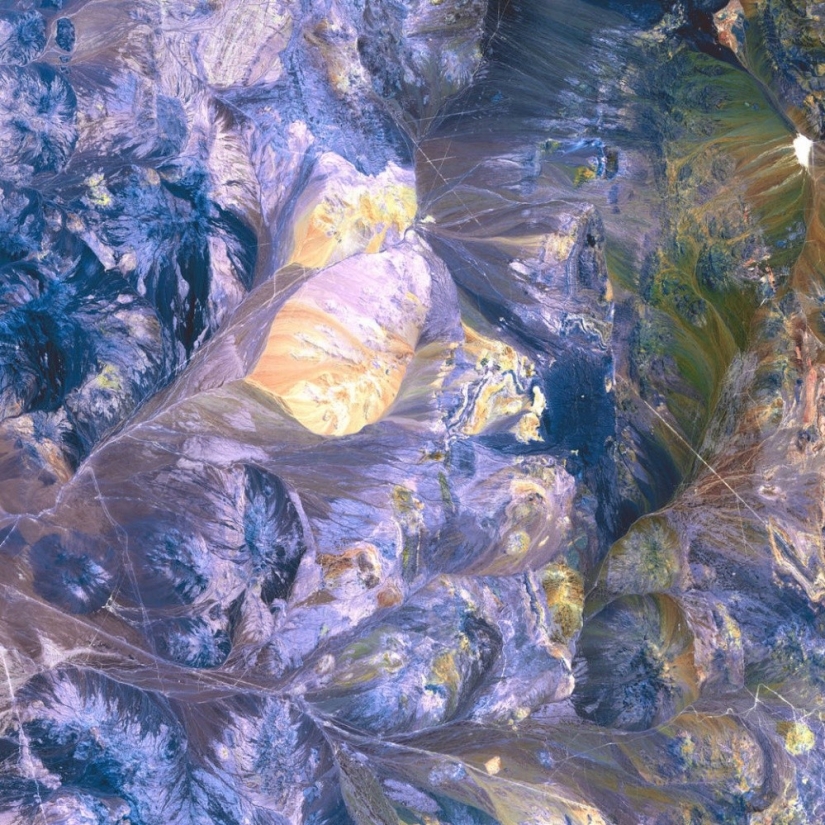
15. The Atacama desert, the West coast of South America, Chile.
Keywords: The earth | The satellite
Post News ArticleRecent articles

Could you be friends with a guy who killed dozens of people? Do not rush to answer, because you do not know Thomas Eugene Creech, a ...

Some clarity came only after studying Wikipedia: A bathing machine (in Russia and Austria-Hungary was known as a bathing van) - a ...
Related articles

According to various estimates, there are between 1,000 and 1,500 active volcanoes. Distinguish between operating, that is ...

Under the pressure of global warming, industrial activities, and a huge influx of tourists, some places on the planet in a short ...

Without cats, the Internet would be useless, and while we throw cats at each other and mark them as liked, tigers, lions and other ...