Satellite, tilt the camera: Photos from Space that don't look like Google Maps
Categories: Aerophoto | Nature
By Pictolic https://pictolic.com/article/satellite-tilt-the-camera-photos-from-space-that-dont-look-like-google-maps.htmlFew people today still believe that the Earth is flat. However, this is exactly what can be assumed by viewing satellite images of the Earth taken at nadir — when the camera looks exactly down at an angle of 90 degrees.
The traditional way of vertical shooting hides details, smoothing out mountains, waterfalls and skyscrapers so that what we see looks more like a map than a photograph.
This experimental series of satellite images taken from an angle allows you to open the perspective and see the natural and urban area in a new way.
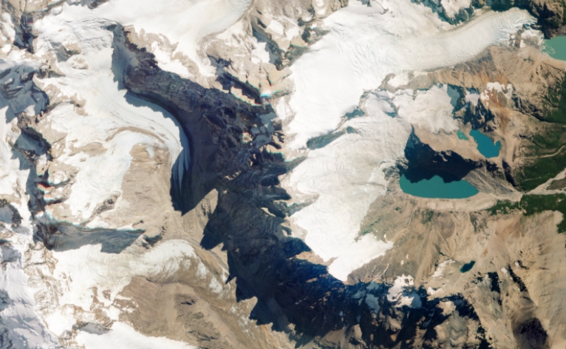 Take the famous Mount Fitzroy on the border of Argentina and Chile - you won't immediately understand what exactly is in the picture until you see a hint in the toothy shadows cast by the rocky peaks.
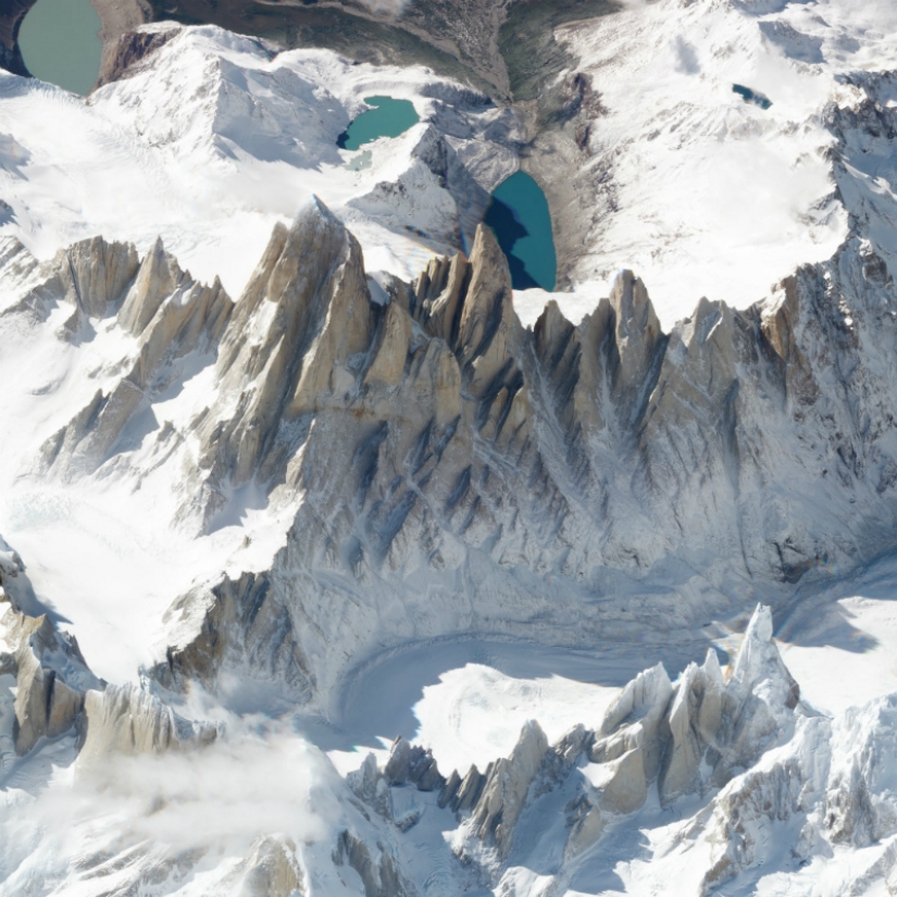 A picture taken from a different angle changes the perspective: the image instantly becomes three-dimensional - mountains gain height, and valleys - depth. It's like looking out the window of an airplane from a height of 450 km.
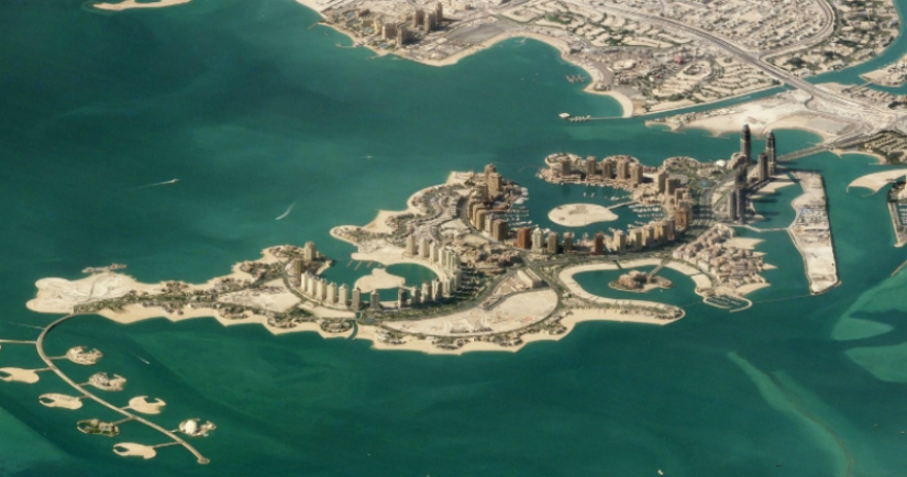
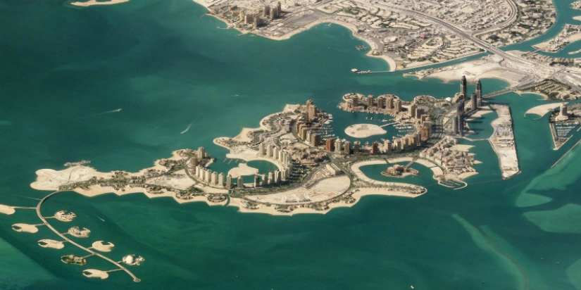 Doha, Qatar. The pearl of Qatar is an artificial island in the shallow waters of the Persian Gulf.
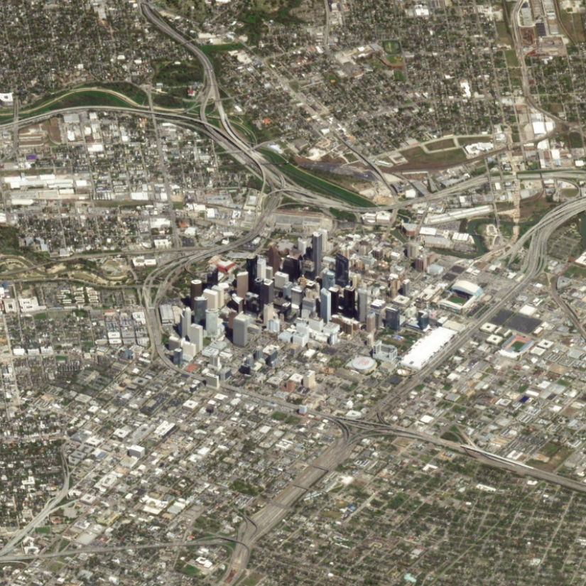 Houston, USA. The picture shows what an insignificant part of the city's territory is an island with skyscrapers.
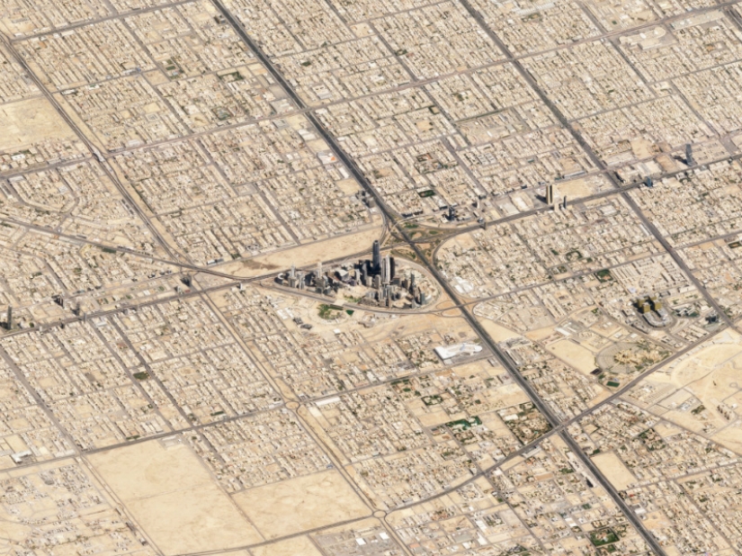 Riyadh — Saudi Arabia. On the example of Riyadh, this can be seen even better (the air is not so humid, so you can get a clear picture with more coverage).
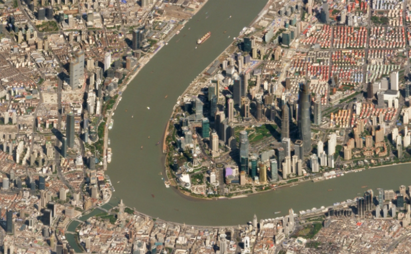 Shanghai, China.
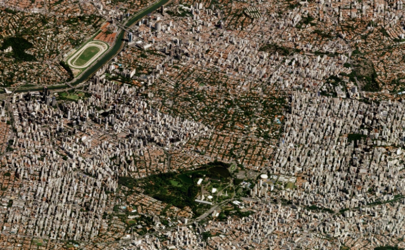 Sao Paulo, Brazil is the most populated city in the Western Hemisphere.
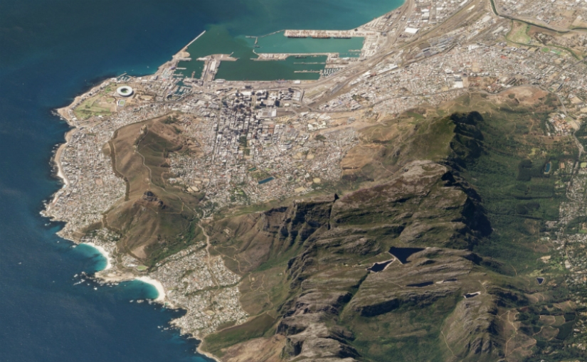 Table Mountain looms over Cape Town, South Africa.
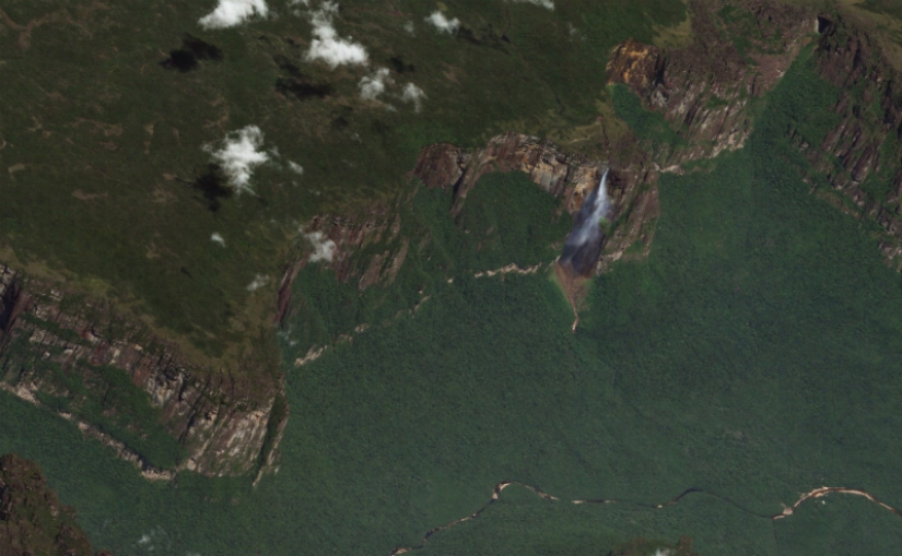 The highest Angel Waterfall in the world is 979 m .
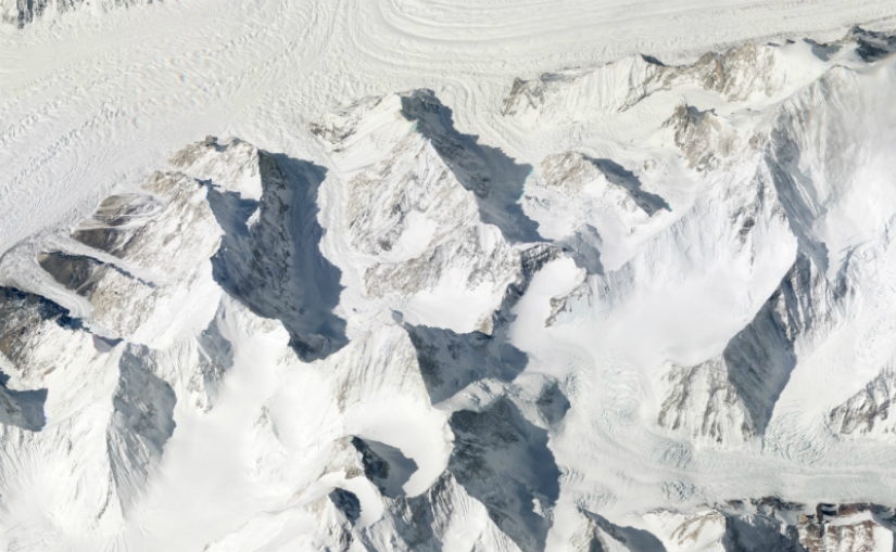 Karakoram Ridge, Pakistan. The picture shows all three peaks - Gasherbrum I (8068 m), Broad Peak (8047 m) and Gasherbrum II (8035 m).
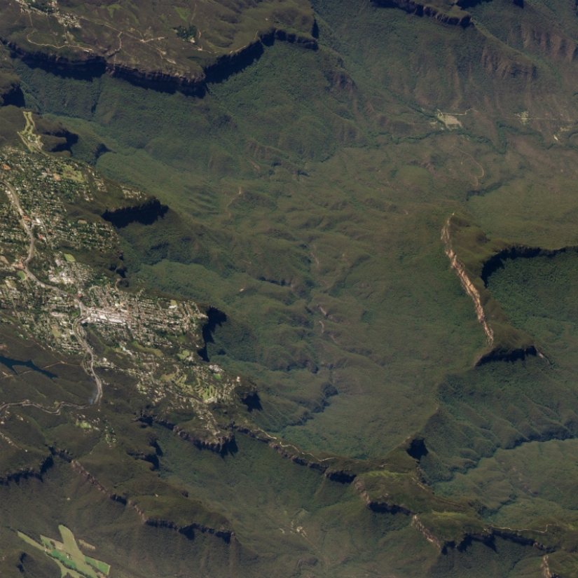 Blue Mountains, Australia.
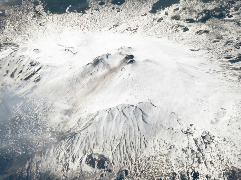 Etna is the second most active volcano in the world, Italy.
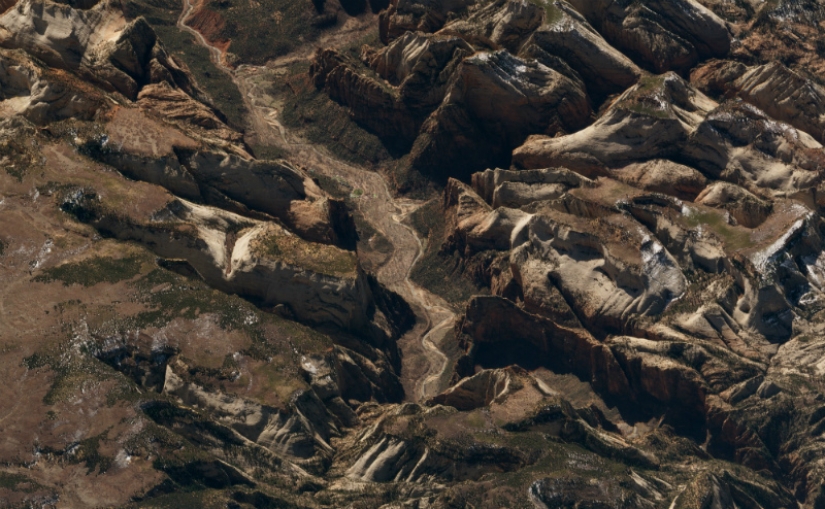 Zion National Park, Utah, USA.
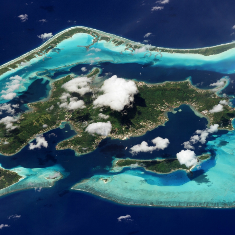 Bora Bora, Tahiti.
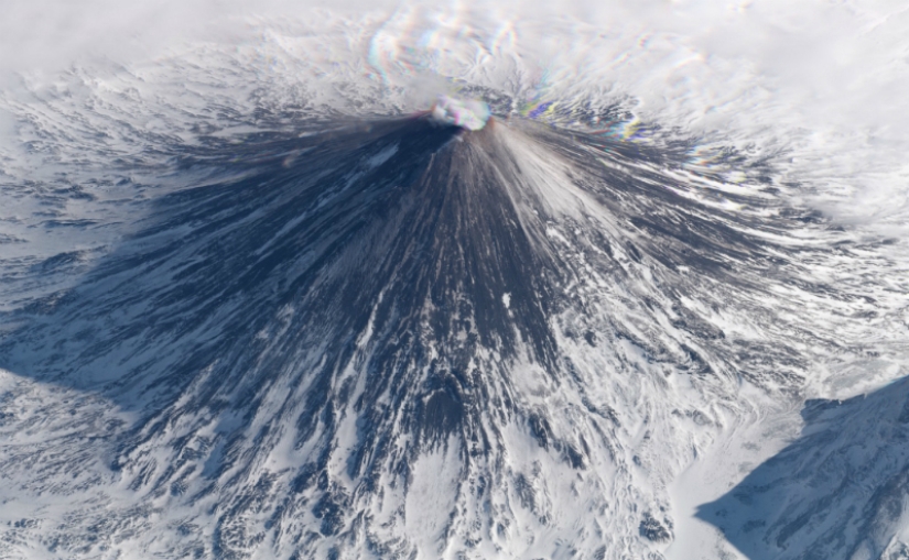 Klyuchevskaya Sopka volcano, Kamchatka, Russia. Due to periodic emissions of ash and gas, flights over Kamchatka are often redirected.
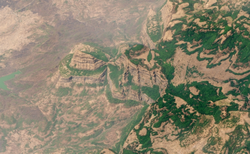 The Deccan Traps in India are one of the largest volcanic formations on earth, consisting of basalt deposits 2000 meters thick.
Keywords: Aerial photography | Cities | Planet | Snapshots | Photos
Post News ArticleRecent articles

Japanese artist Izumi Uchida works with digital graphics. His main activities are creating advertising images and developing ...

South Korean artist Yang-sang Kim (Young-sung Kim) conquers the world of painting with incredible paintings that look more like ...
Related articles

These days, the photographers travel the world in search of new perspectives of famous places of the planet. However, there was a ...

In 1903, the inventor Julius Neubronner decided on an unprecedented experiment to combine the dove and the photographic camera. To ...

They come in all shapes and sizes. Some walk, some slither, some fly, and some swim. Humans are blessed to share the planet with ...

How many on our planet there are lost cities, nobody knows for sure. But those that archaeologists are able to detect, always ...