The satellite, tilt the camera: photos from space that are not similar to Google maps
Categories: Aerophoto | Nature
By Pictolic https://pictolic.com/article/the-satellite-tilt-the-camera-photos-from-space-that-are-not-similar-to-google-maps.htmlFew people today still believe that the Earth is flat. However, it is possible to assume, looking at satellite images of the Earth taken at Nadir when the camera looks straight down at an angle of 90 degrees.
The traditional way vertical shooting hides the details, smoothing mountains, waterfalls and skyscrapers so that what we see is more like a map than a photo.
This experimental series of satellite images taken at an angle, it allows to reveal the future and see the natural and urban environment in new ways.

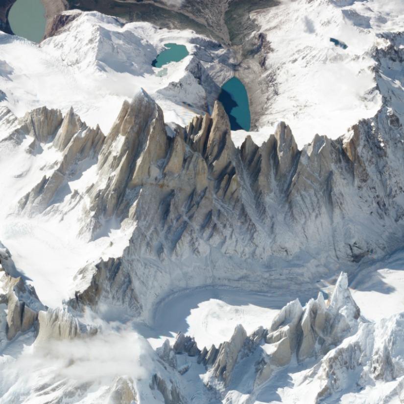
Take the famous Fitz Roy mountain on the border of Argentina and Chile did not immediately understand that the picture until you see a hint at the huge shadow cast by the rocky peaks.
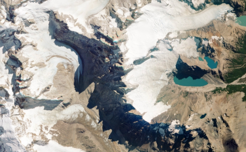
Picture taken from a different angle, changing the perspective: the image becomes three-dimensional mountain gain height and valley depth. Like looking in the window of a plane from a height of 450 km.
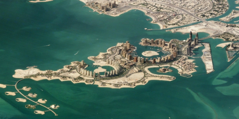
Doha, Qatar. The pearl Qatar is an artificial island in the shallow waters of the Persian Gulf.
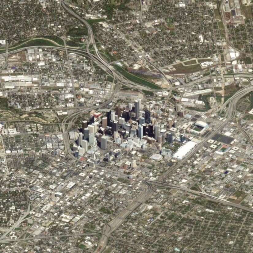
Houston, United States. The picture shows what a tiny part of the territory of the city is an island of skyscrapers.
Riyadh — Saudi Arabia. For example, in Riyadh it better (the air is not so humid, so you can get a clear picture with good coverage).

Bilbao, Spain.

Shanghai, China.

Sao Paulo, Brazil is the most populated city in the Western hemisphere.

Table mountain looms over Cape town, South Africa.

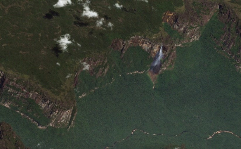
The world's highest waterfall, angel falls 979 m
Karakoram range, Pakistan. The picture shows all three peak — Gasherbrum I (8068 m), broad Peak (8047 m) and Gasherbrum II (8035 m).

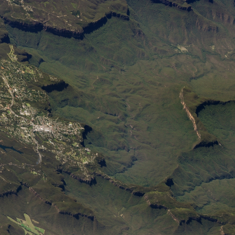
Blue mountains, Australia.
Etna — the second most active volcano in the world, Italy.

Zion national Park, Utah, USA.

Bora Bora, Tahiti.

The Volcano Klyuchevskaya Sopka, Kamchatka, Russia. Intermittent ash and gas emissions of flights over Kamchatka often redirect.

The Deccan traps in India is one of the largest volcanic formations in the earth consisting of basaltic sediments with a thickness of 2000 meters.
Keywords: Nature | Aerial | Images | Photos | Aerial view | Planet | City
Post News ArticleRecent articles

Most of us loved as kids magic tricks, but someone loves them right now. However, the attitude to the hoax became a few others ...

Everything is changing. This is well and has long been known to everyone. But when something stays with you for a long time, it is ...
Related articles

Yellowstone is the first national Park in the world and also the largest of all national parks in North America. For nearly 150 ...

Is it possible to laying wood to name a form of art? Turns out you can. Because in the world there are such people, which gently ...

For a person likely to get struck by lightning in any one year is a chance to 300 thousand. And although 90 percent of people ...

Compared to the 1970-ies 1980‑e years were a time of cautious optimism in new York. Boom on wall street fueled the speculative ...