The landscapes created by human hands
Categories: Aerophoto
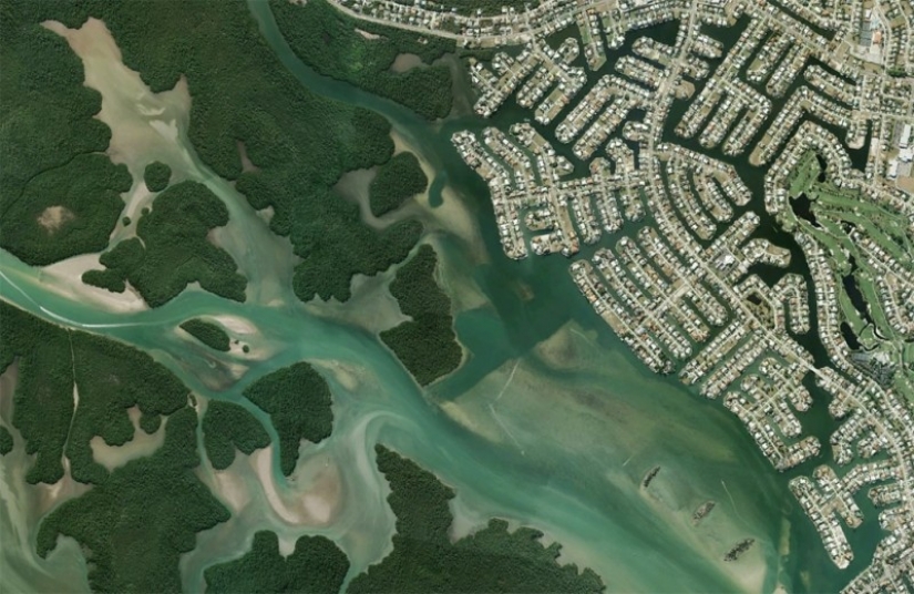
By Pictolic https://pictolic.com/article/the-landscapes-created-by-human-hands.htmlWe offer you to look at the scenery, created by human hands (using Google Earth).
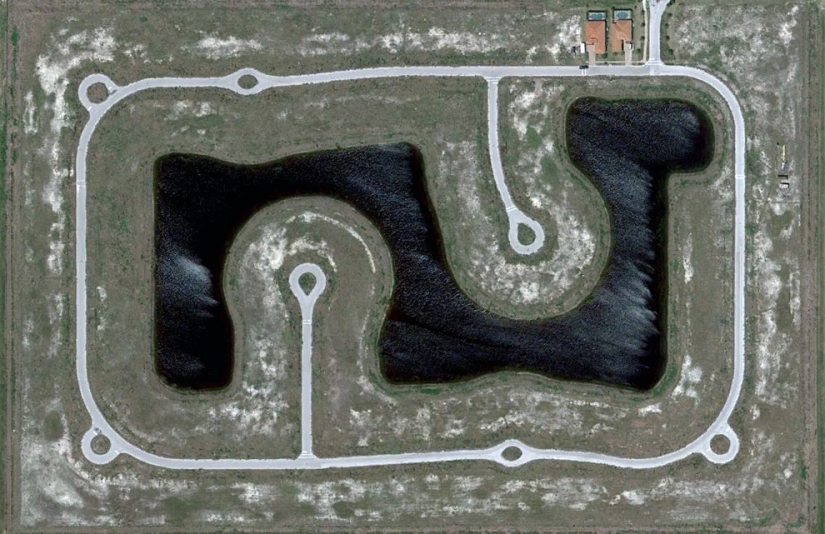
Section partially built-up residential project with only two homes near Fort Myers, Florida. (© Google)
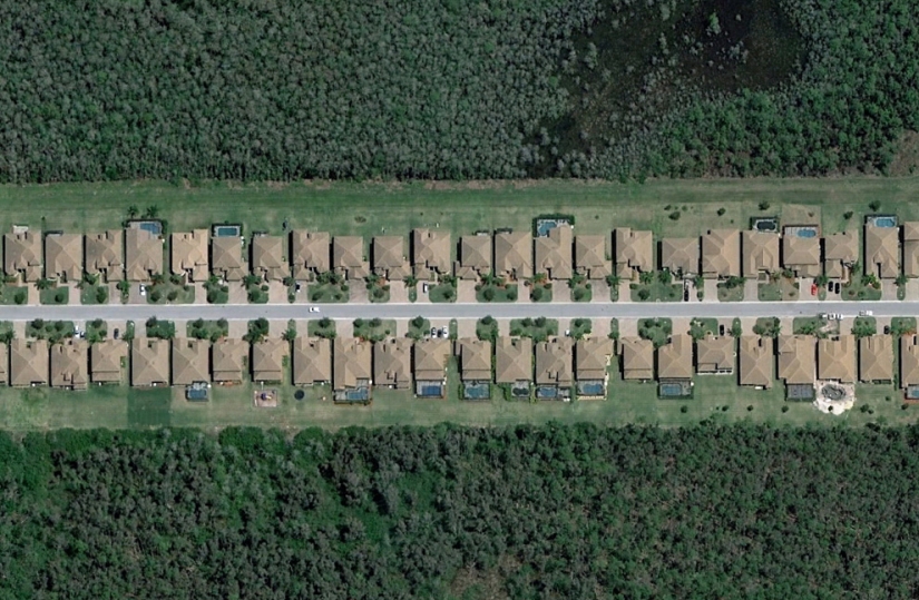
Strip house in South-East Fort Myers. (© Google)
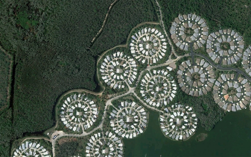
Circular plots with houses just off I‑75. (© Google)
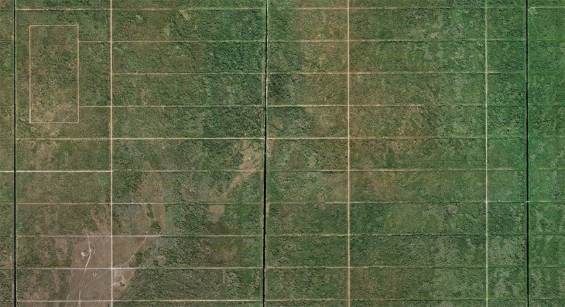
This area in 23067 hectares called "Mansions Golden gates" was the largest in America in the 1960s. Was built canals and roads, but in the end, the construction company went bankrupt. Over the last 20 years or so the earth moved to the state and turned into the forest pecan strand. (© Google/USGS)
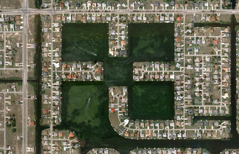
Boats float along the canals in the Northern part of Cape coral, Florida. (© Google)
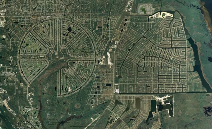
District of Rotonda West, originally built in the 1960s, was never completed. It is located in the County of Charlotte, state of Florida. (© Google/Data SIO, NOAA, U.S. Navy, NGA, GEBCO)
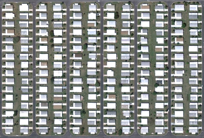
Densely populated neighborhood in Bonita springs. (© Google)
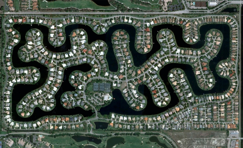
District, built around an artificial lake in the southeastern part of the Bonita springs, Florida. (© Google)
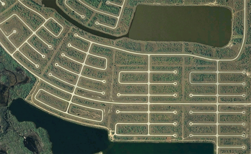
The stubs in the southern area of Rotonda West, Charlotte County. (© Google)
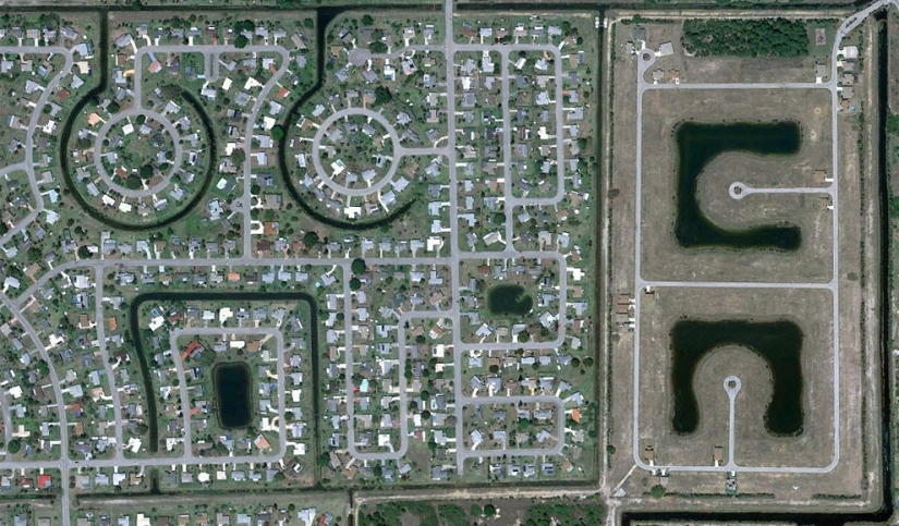
Built-up area and neighboring, which is under construction, in Lehigh Acres. (© Google)
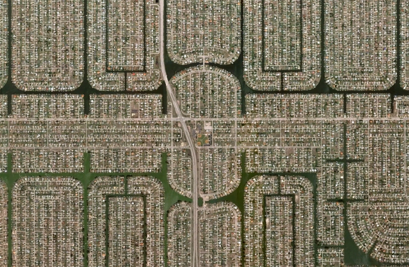
Densely populated area of Cape coral, Florida. (© Google)
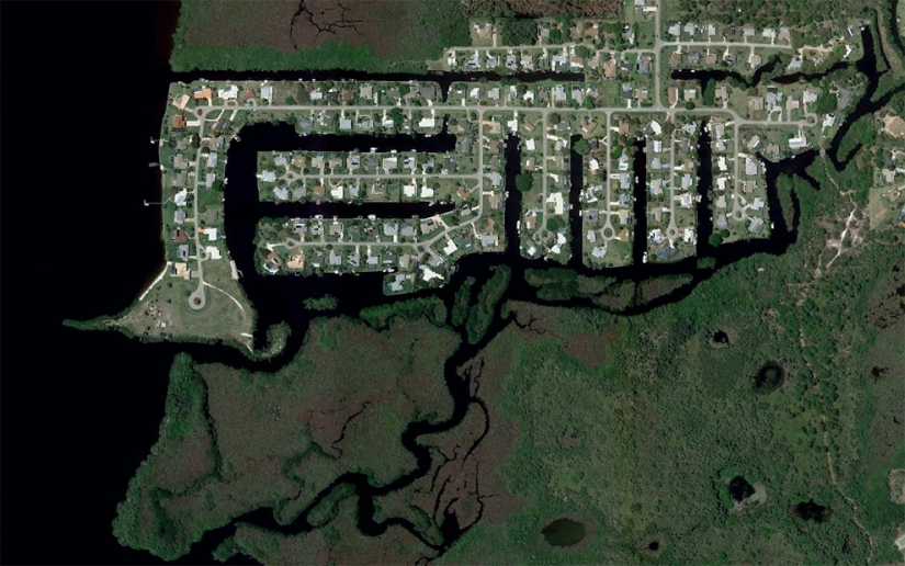
Construction near North Fort Myers river Caloosahatchee. (© Google/Europa Technologies)
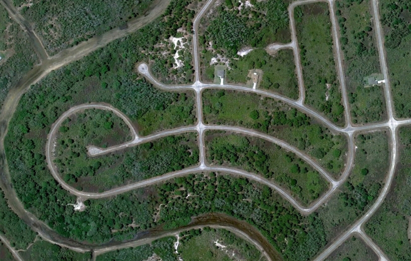
Partly built up, and now partially overgrown district in Lehigh Acres. (© Google)
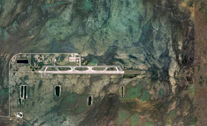
Airport "Dade-Collier Training and Transition Airport" was originally planned as the airport for jet aircraft "Everglades Jetport". Its construction began in 1968, and it was planned as the largest airport in the six-lane to support ultra-fast transportation. Due to the nearby nature reserve of big cypress construction of the airport was suspended, and when the advertised "super speed" airport not lived up to its expectations, the project left as is. (© Google/USGS/DigitalGlobe)
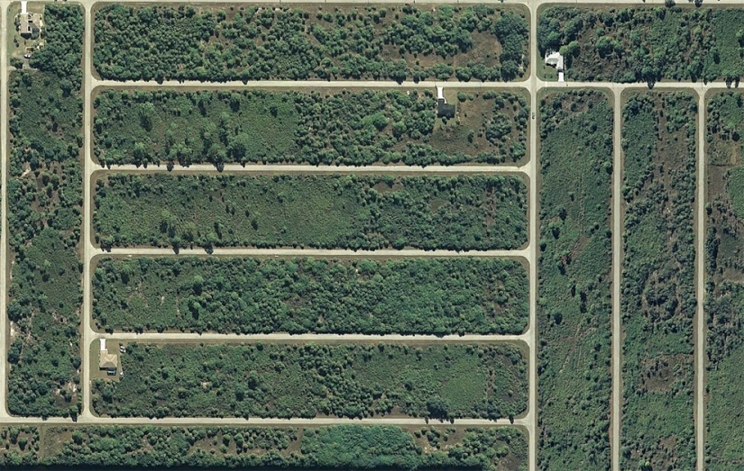
Hash vacant lanes in the West Port Charlotte, Florida. (© Google)
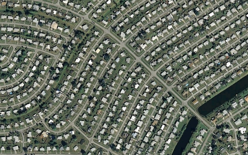
District in Port Charlotte, Florida. (© Google)
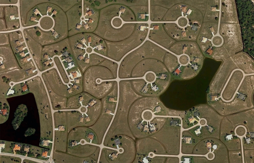
Partially built-up area near the Harbor of Charlotte, North of Fort Myers. (© Google)
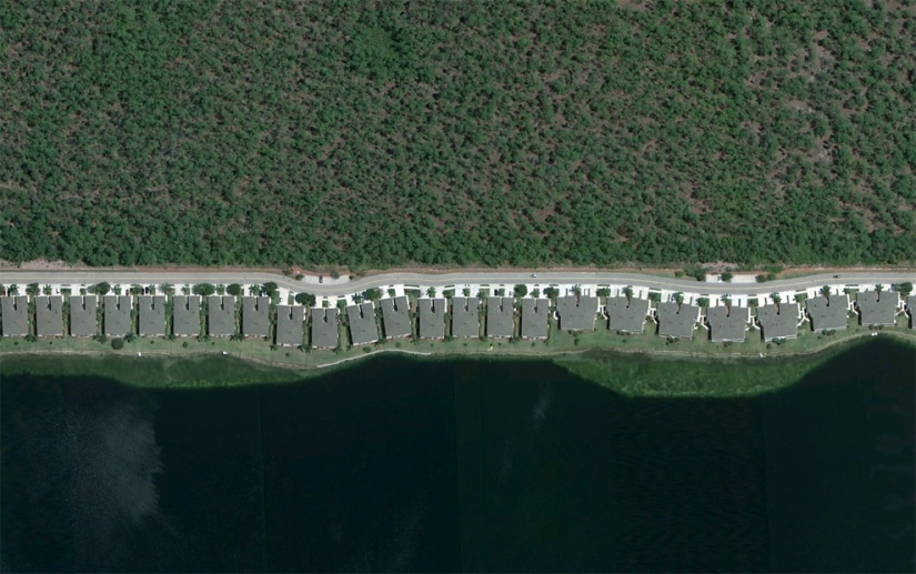
Houses in a row along an artificial lake near Naples, Florida. (© Google)
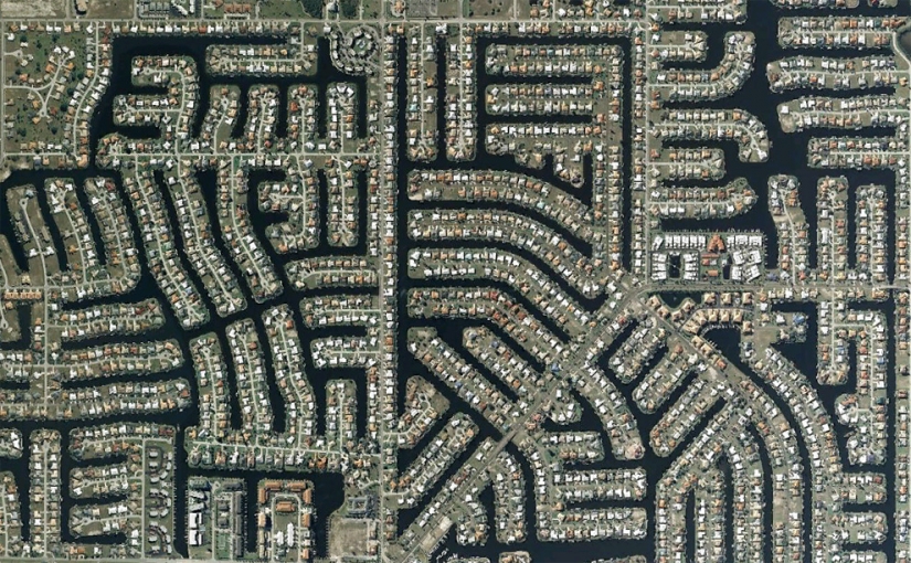
Channels at home and in the Park in Charlotte, South of Port Charlotte, Florida. (© Google/Europa Technologies)
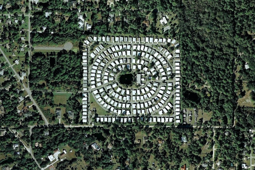
Built a piece of land to the North of Egluga. (© Google)
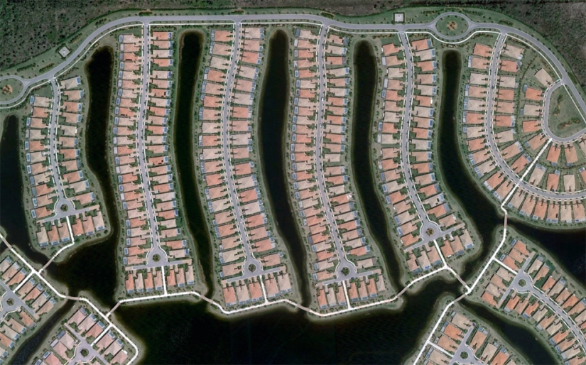
Part Verona walk, a district in Naples, Florida. (© Google)
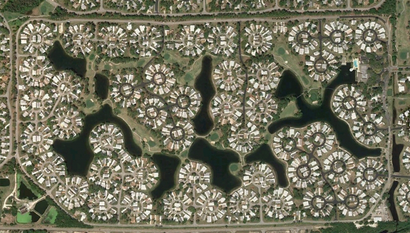
At home in round lots to the North of North Fort Myers. (© Google)
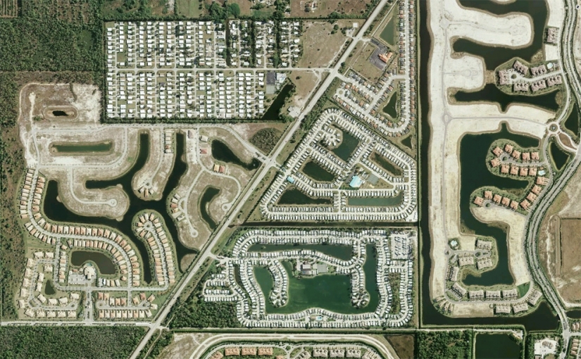
A series of residential buildings in various stages of completion along the highway just South of Naples, Florida. (© Google/USGS)
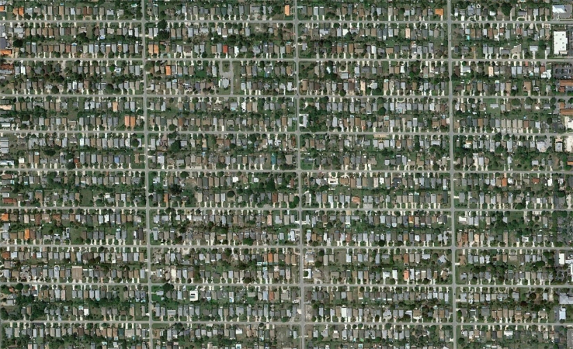
Naples Park is a densely populated area North of Naples. (© Google)
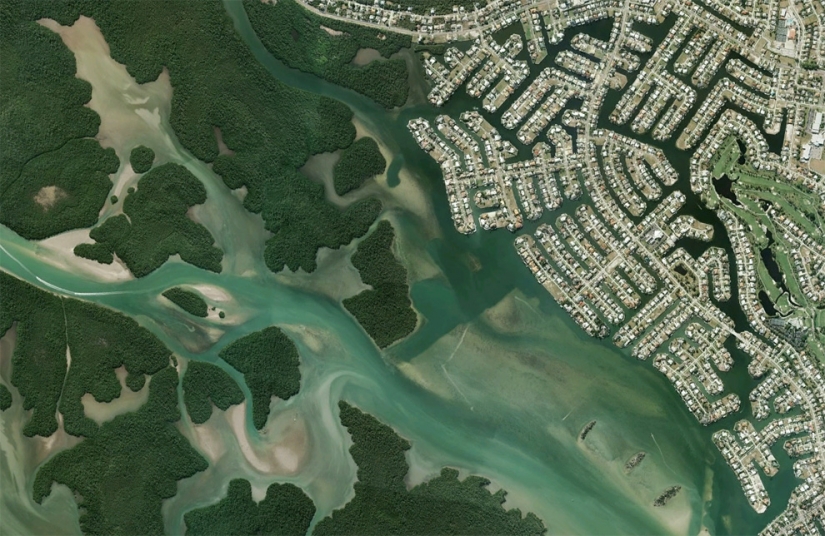
Channels and of the house near the river, big Marco in Marco island, Florida. (© Google/USGS)
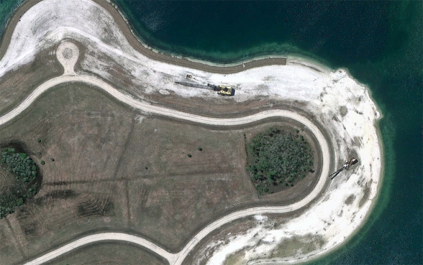
The construction technique is the artificial lake in South-East Fort Myers, FL. (© Google)
Keywords: Aerial | Satellite | Google | FL
Post News ArticleRecent articles

China's population was approaching one billion people when the government introduced the "one family, one child" policy. This was ...

It is believed that pin-up is a truly American art movement. Yes, this style originated in the USA, and most of the most famous ...
Related articles

You have a unique opportunity to admire the pictures from the new album LANY, which collected the best works of aerophotograph ...

If you are looking for inspiration to mix up new colors and incredible shades, this post is what you need. Everyone else also ...

"Proud wanderer" — an unusual creative project of animal photographer Howard Lau, creating network under the nickname HOWLD. In ...

Many ordinary things keep secrets. Even a simple dish detergent has potential that most of us don't even realize. What else can ...