What Baikal looks like from a helicopter
By Pictolic https://pictolic.com/article/what-baikal-looks-like-from-a-helicopter.htmlSlava Stepanov says: "Lake Baikal — the deepest lake on the planet - is located in Eastern Siberia. This is the largest freshwater reservoir in the world, which has a tectonic origin (the lake originated at the junction of two plates). Because of its large size, Baikal is often called the sea: it has an area of more than 23 thousand square kilometers, and its greatest depth is 1642 meters."
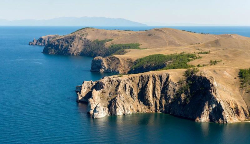

Baikal is a place with a unique nature, where thousands of tourists come every year from Russia and from abroad. In this post, some of the most popular and picturesque places of Lake Baikal are filmed: the village of Listvyanka, the Circum-Baikal Railway and the island of Olkhon.
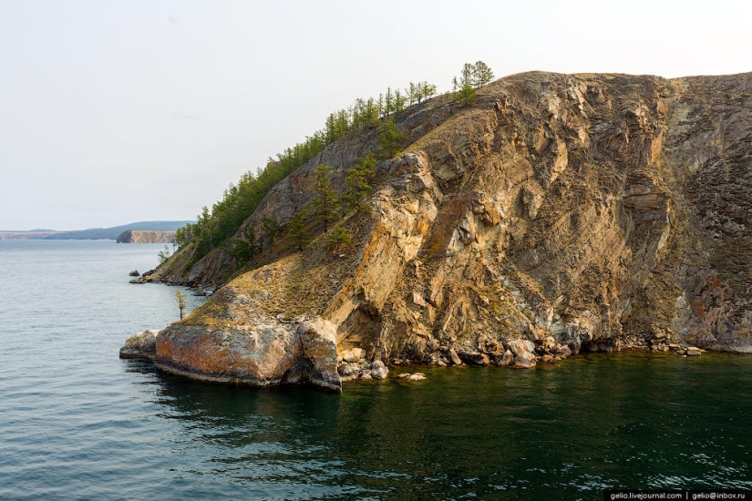
By the area of the water mirror, Baikal ranks sixth among the largest lakes in the world.
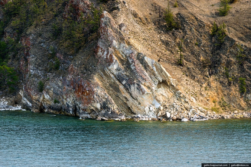
Olkhon Island
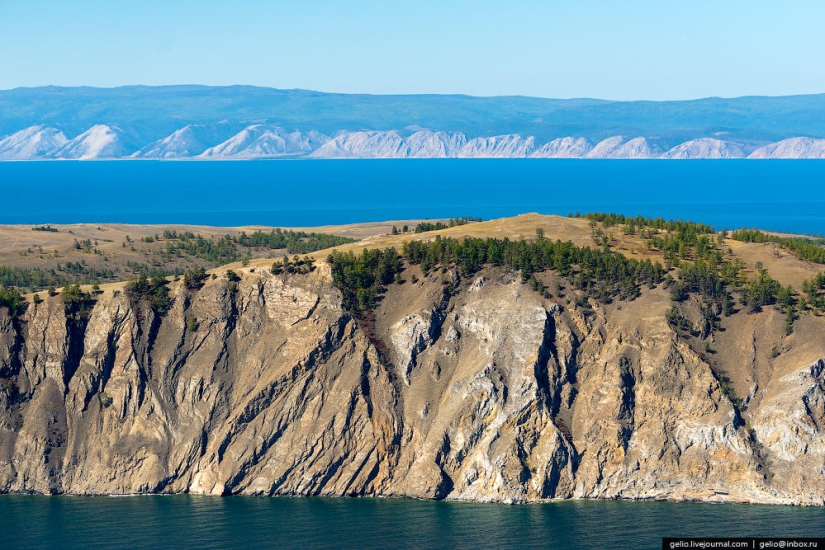
With the north-western shore of the lake forms the straits of the Small Sea and the Olkhon Gate.
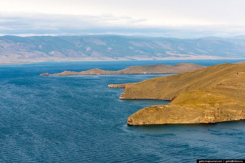
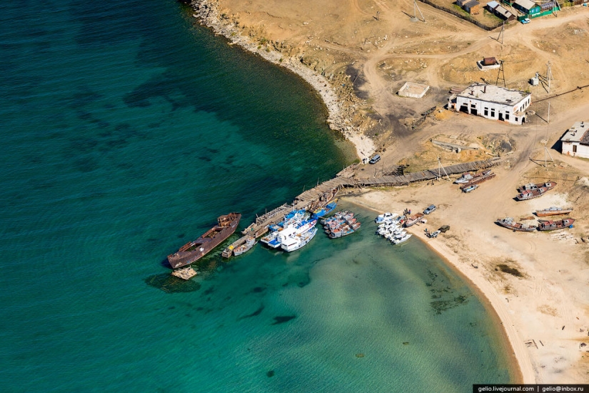
You can get to Olkhon Island by ferry.
Currently, two ferries are operating — Dorozhnik and Olkhon Gate. They walk all day with an interval of about an hour.
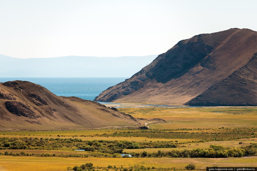
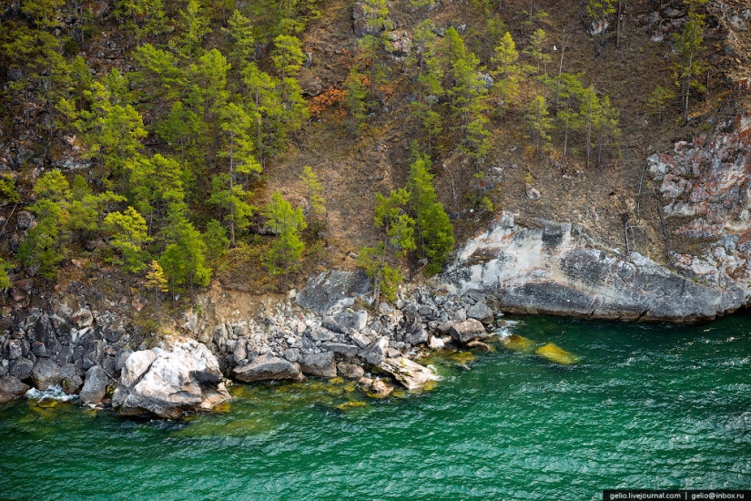
Olkhon has all the variety of natural landscapes: steppe, sandy beaches with dunes, hills and groves along the coast, as well as marble rocks and swamps.
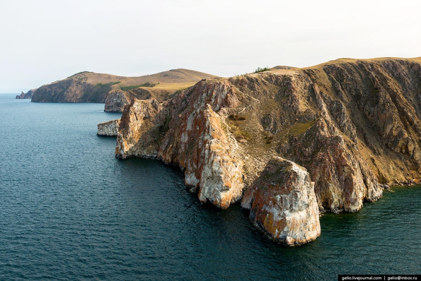
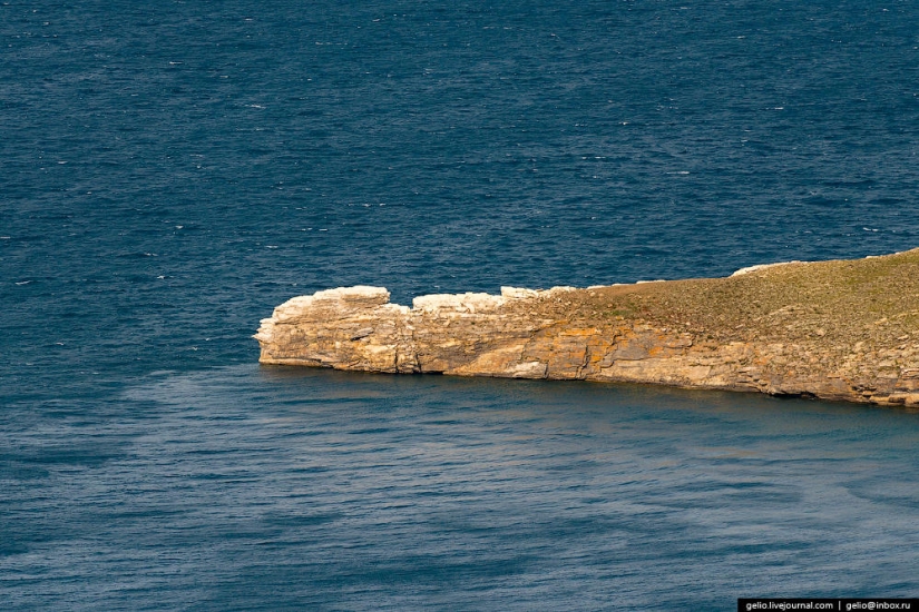
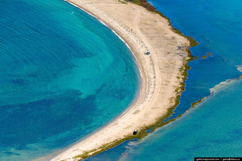
Cape Sagan-Khushun
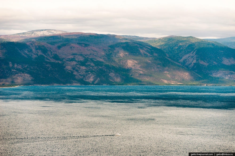
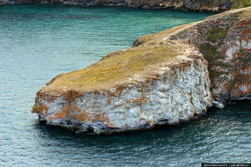
Marble
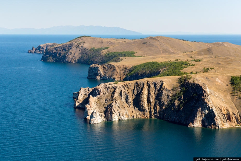
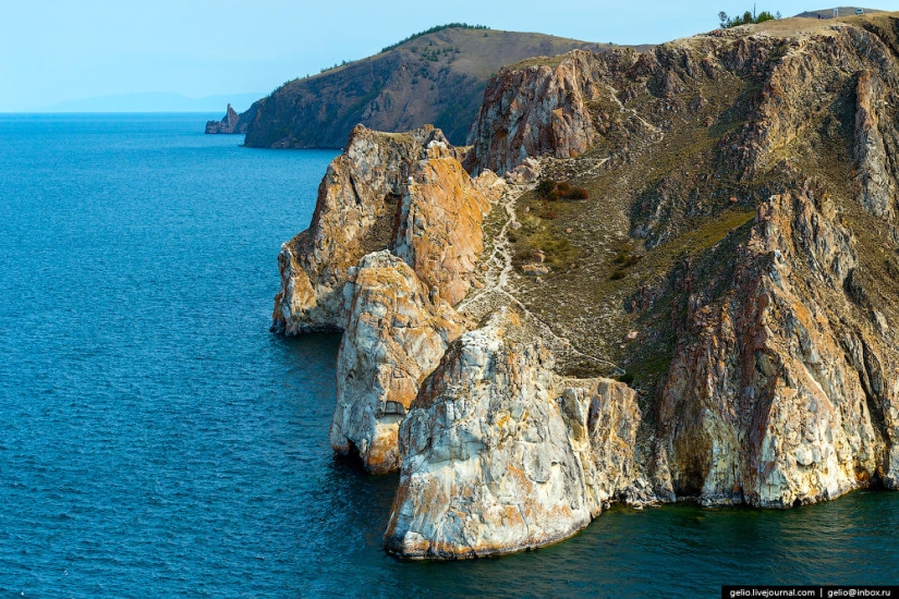
In the west of the cape, the rock splits into a group of rocks called the Three Brothers.
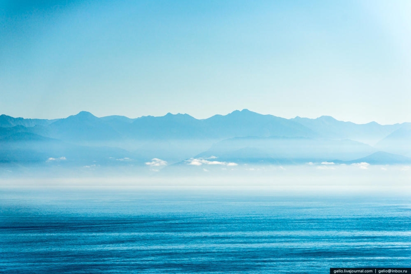
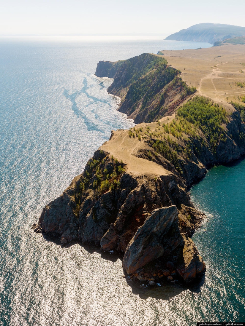
The northernmost point of Olkhon is Cape Khoboy
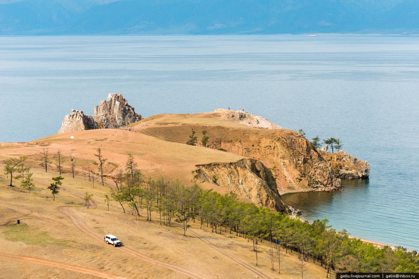
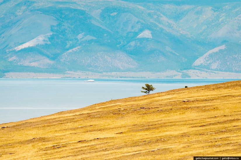
Cape Khoboy is located near the widest point of Lake Baikal (79.5 km), and only in good weather you can see the eastern shore from it.
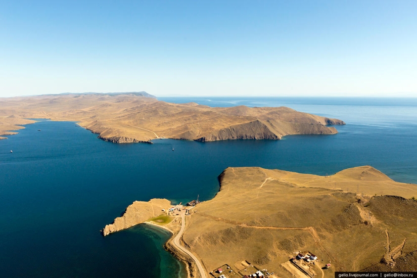
Mount Zhima is the highest point of the island. The height above the lake is 818 meters.
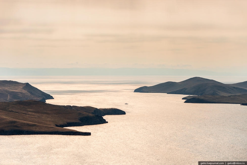
Cape Shunte-Left. Not far from here is the deepest place of Lake Baikal - 1642 m .
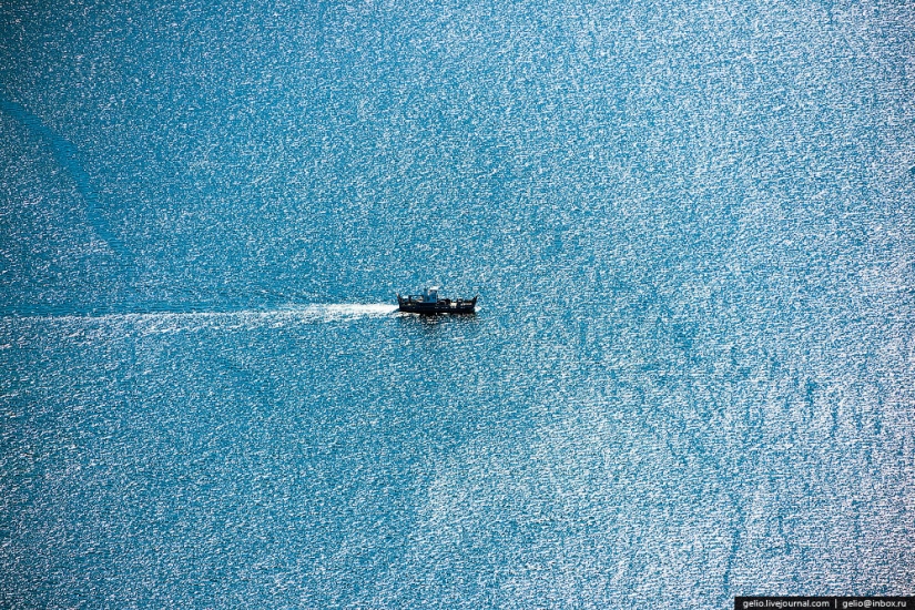
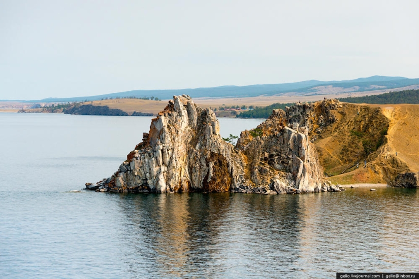
Shamanka Rock is one of the shrines of Asia, which has become a famous image of Lake Baikal.
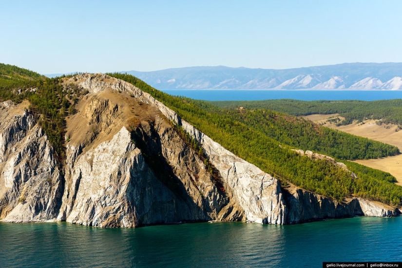
The name of Cape Burkhan appeared after the penetration of Tibetan Buddhism in the Baikal region at the end of the XVII century. The Buryats-Buddhists began to call the main deity of Baikal by the word "Burkhan". And Cape Burkhan with a through cave in Shaman Rock was considered his abode.
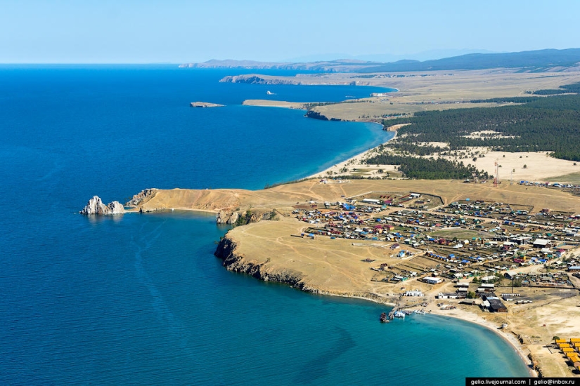
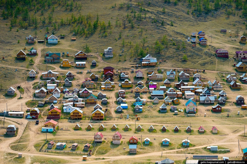
Near the cape is the village of Khuzhir with a population of 1.3 thousand inhabitants — the largest settlement on the island.
Currently, the main occupation of local residents is the maintenance of tourist flows.
Electricity appeared here only in 2005.
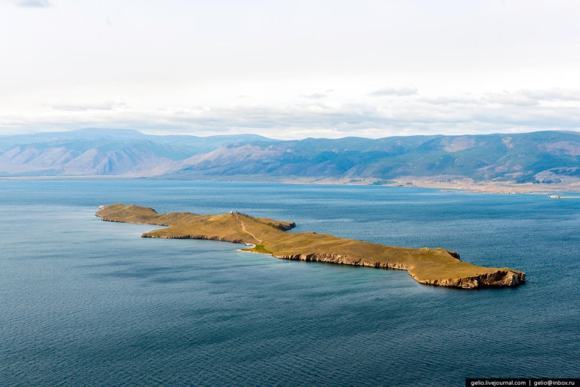
Ogoy Island is the largest island in the Small Sea. Its length is 3 km .
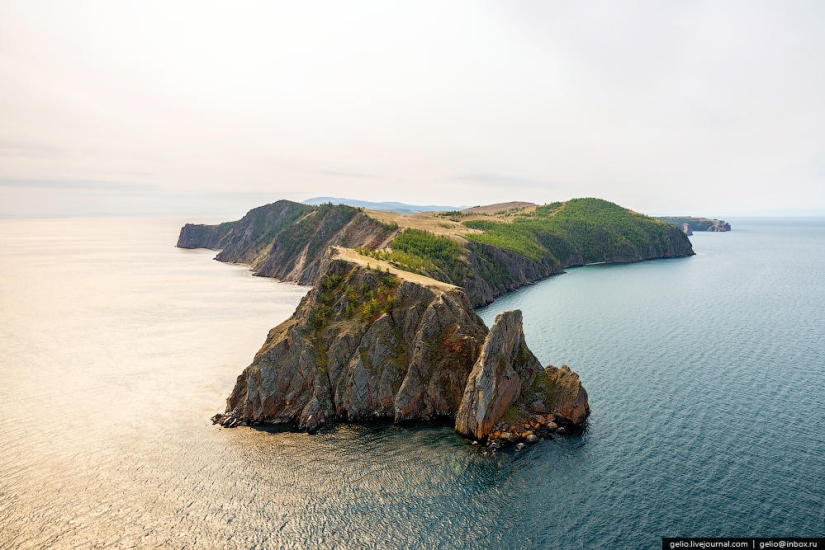
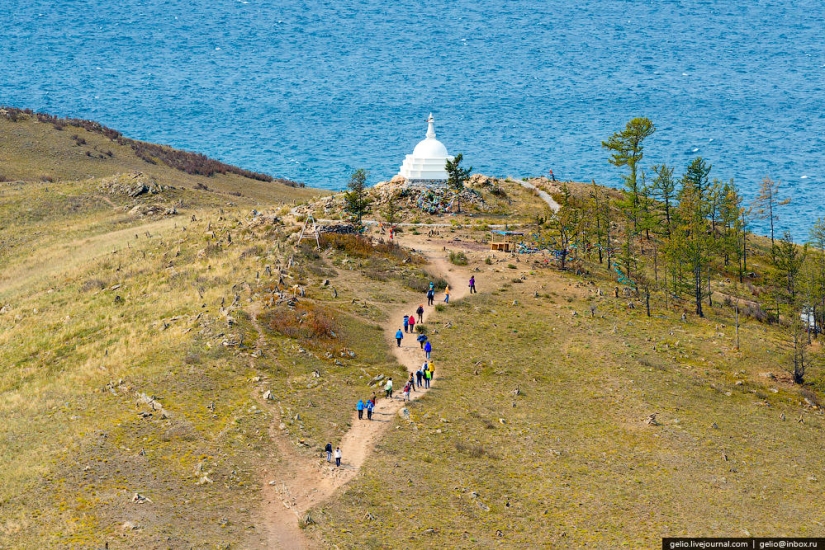
Ogoy is one of the so-called "places of power" of Lake Baikal. Many people come to the lake just for the sake of visiting this place — to be cleansed and charged with spiritual energy. In 2005, a sacred Buddhist stupa was built on the island.
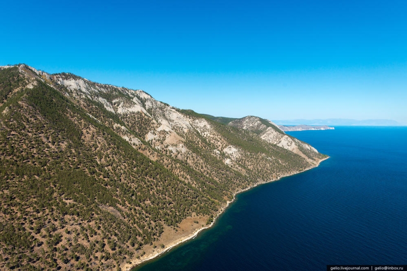
Cape Ogoy
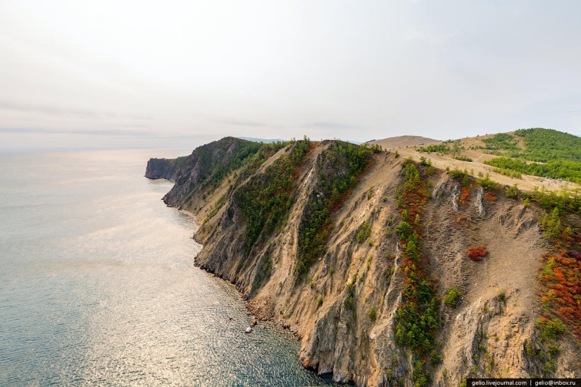
The water mass of Lake Baikal influences the climate of the coastal territory. Winter is milder here, and summer is cooler.
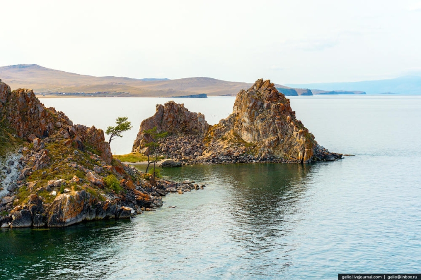
The island got its name from the Buryat word "oh-hon" — "a little wooded". Since 55% of the island is steppes and 45% is forests.
One of the pressing environmental problems of Olkhon Island is the disposal of household waste.
Cape Hubyn
There are 236 species of birds on Lake Baikal. Of these, 29 are waterfowl, mainly various types of ducks, flocks of which are often found while swimming on Lake Baikal. Geese and whooper swans can be found less often on the shores of Lake Baikal.
According to the total number of dry days, Olkhon can be compared with the arid regions of Central Asia: there are only 48 cloudy days per year on the island.
Tagay Bay
Zuun-Hagun
Sagan-Nuge Bay
Crests
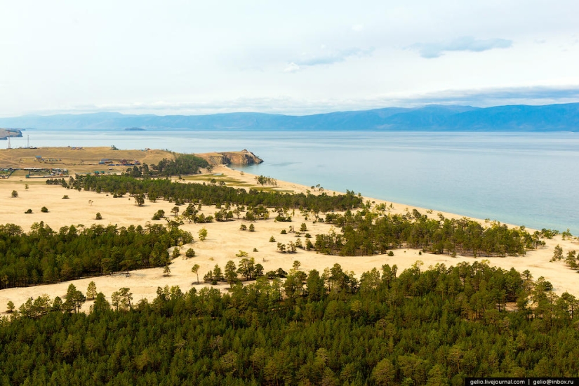
Mount Nondora
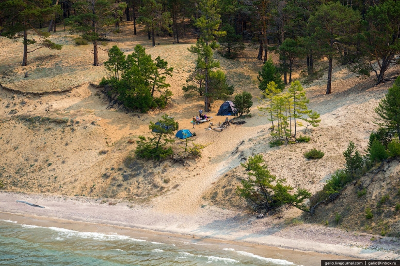
The ferry crossing to Olkhon can be reached by a chic scenic multi-lane road.
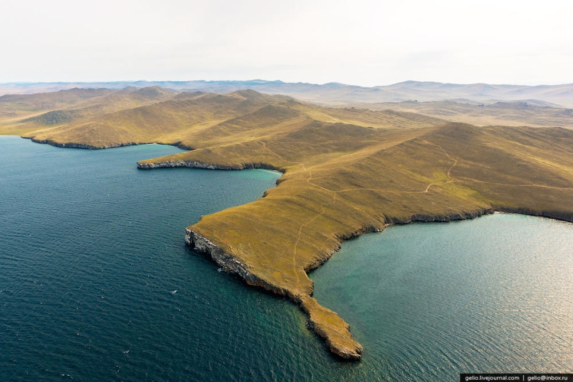
From Olkhon to Irkutsk is about 300 km.
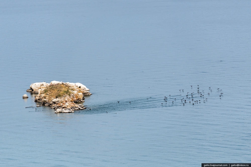
Shamansky Cape is the westernmost point of Lake Baikal
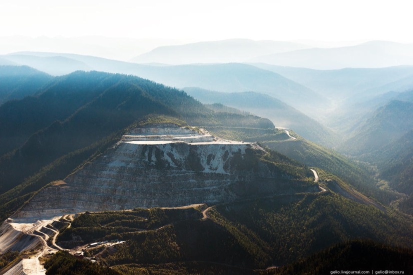
Hamar-Daban is the oldest massif of the planet, stretching from west to east for more than 350 km.
The border of the Irkutsk Region and Buryatia runs along the Khamar-Daban ridges.
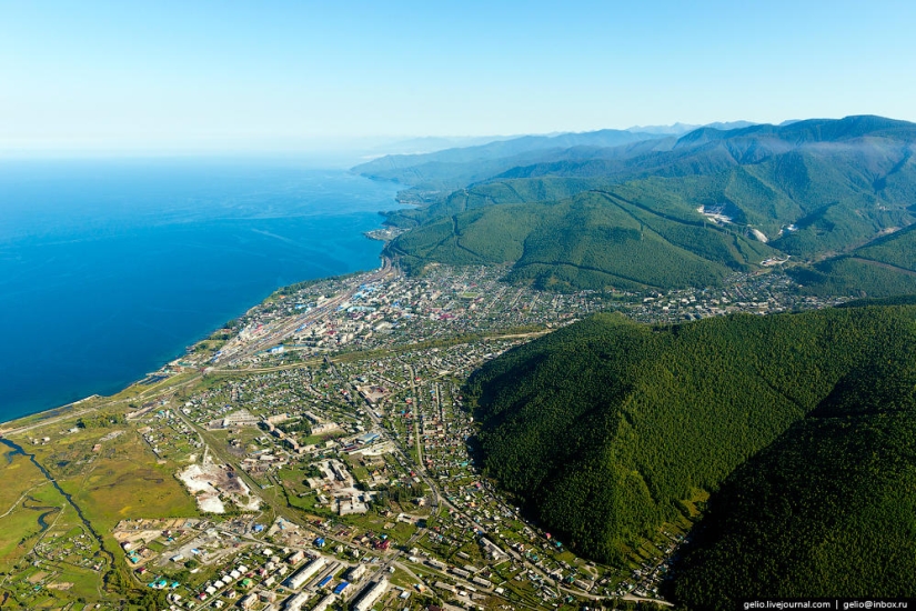
The slopes of Khamar-Daban, adjacent to the southwestern shore of Lake Baikal, are the wettest place in the Baikal region.
Marble Quarry
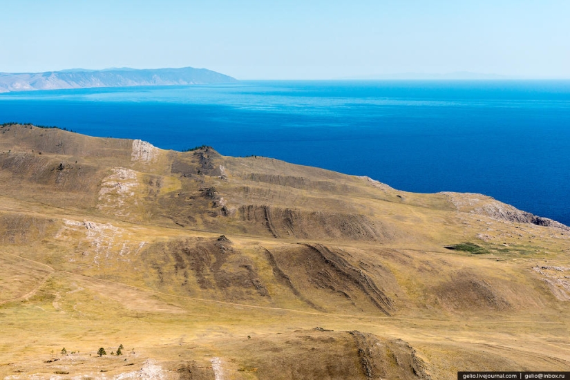
Slyudyanka
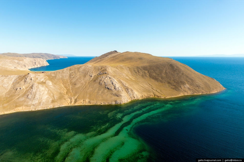
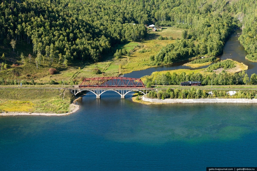
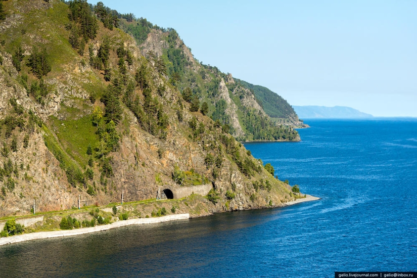
Circum - Baikal Railway
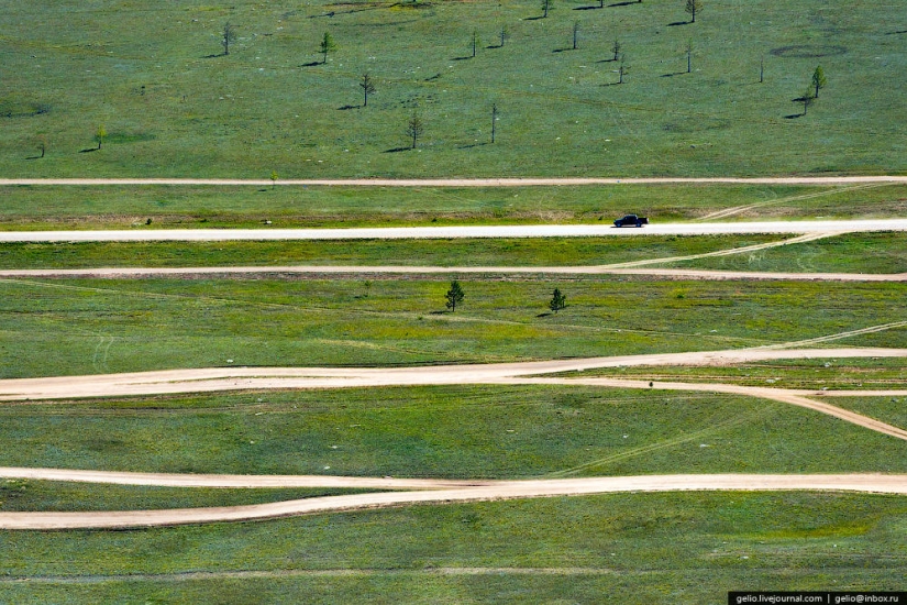
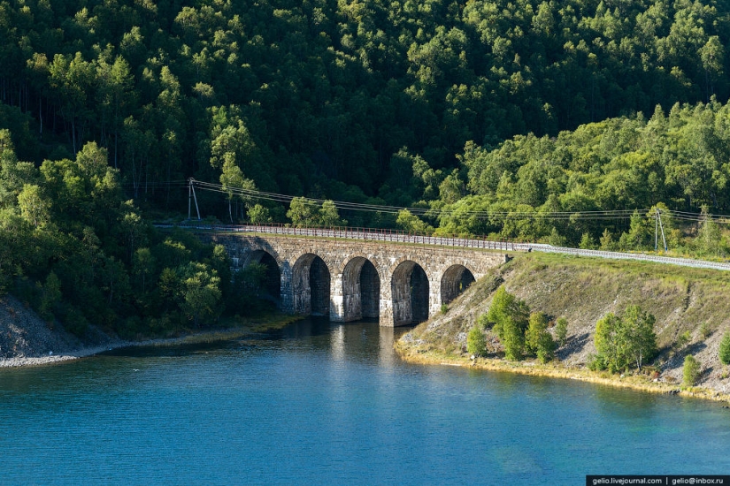
Currently , the Circum - Baikal Railway is called a branch line with a length of 89 km .
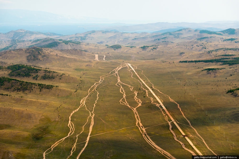
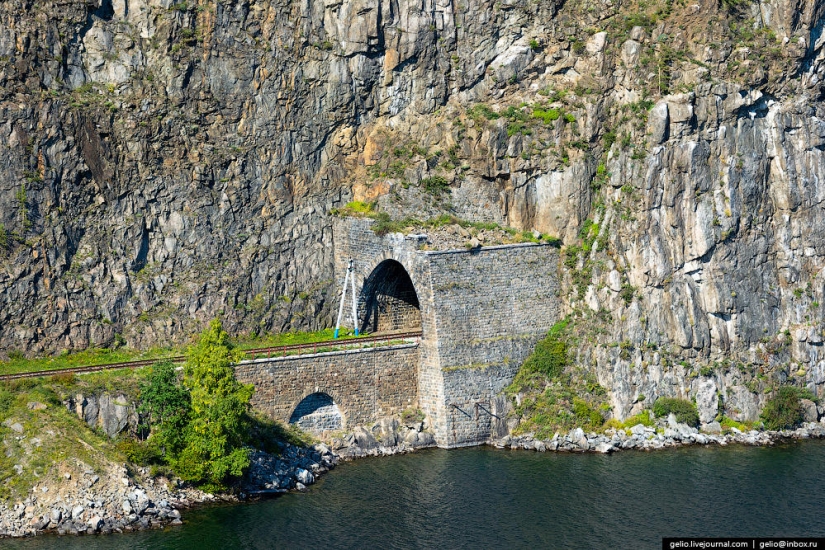
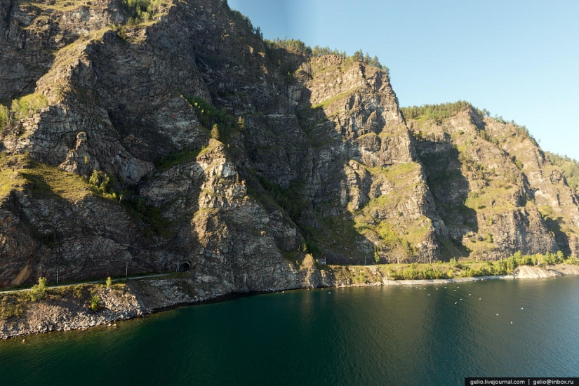
The KBZHD uses 38 tunnels with a total length of 9063 m (the longest of them is the tunnel through Cape Polovinny with a length of 777.5 m), 15 stone galleries with a total length of 295 m and three reinforced concrete galleries with holes, 248 bridges and viaducts, 268 retaining walls.
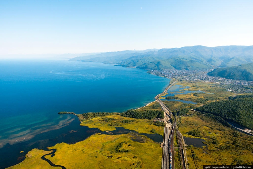
In terms of the saturation of engineering structures, KBZHD has no equal in Russia and occupies one of the first places in the world.
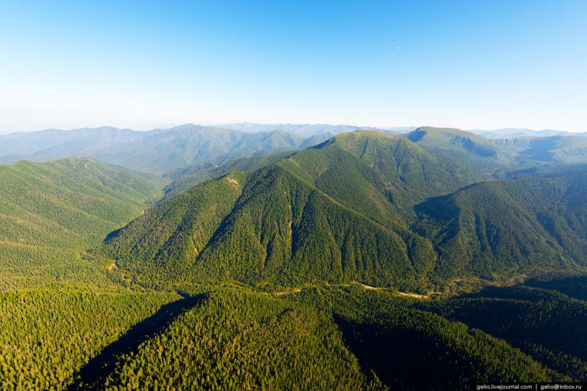
Half
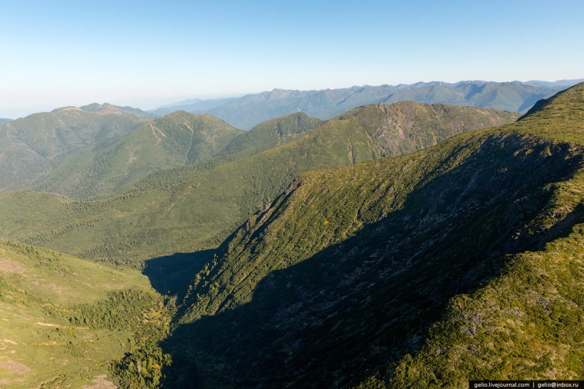
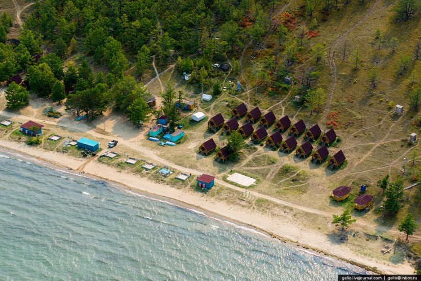
Sharazhalgai recreation center
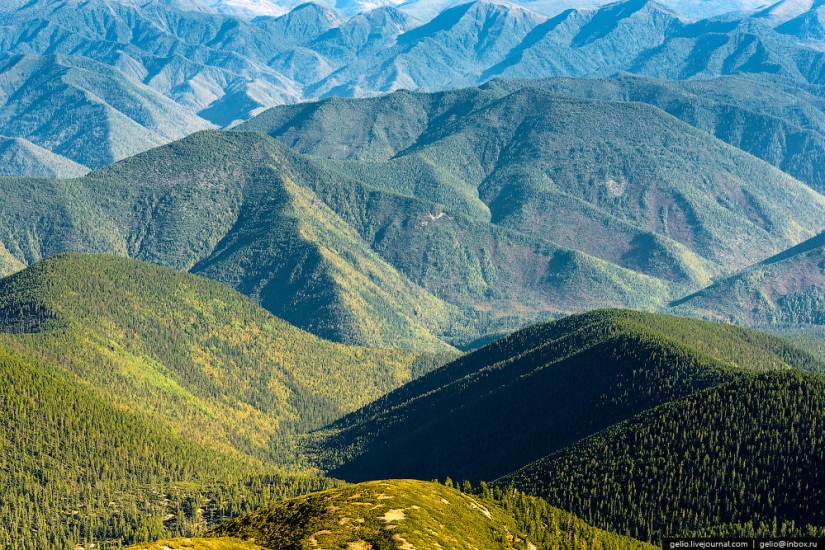
KBZHD is a favorite place of tourists.
Baikal settlement is the terminus of the Circum-Baikal Railway.
Listvyanka village
The houses in the village face the main facade of Lake Baikal.
"Barguzin" is a type of hovercraft. On Lake Baikal, it flies at a speed of about 50 km / h.
The Baikal Astrophysical Observatory (BAO) is located on the outskirts of Listvyanka.
Keywords: Baikal | Helicopters | Lake | Siberia
Post News ArticleRecent articles

And what do you have for dinner tonight? Vegetable salad, fried potatoes with chicken? These dishes have become so familiar to us ...

The Japanese allowed foreigners to trade in the ports of the country only in the middle of the XIX century. It was then that ...
Related articles

In this issue you will find a large selection of macro photographs of Rostislav Mashin, taken during several trips to Lake Baikal ...

All known sandy and pebbly beaches, on which we spend their holidays. What if we tell you that the icy beach is not worse? If you ...

Lake Nyos, located among the Massif du Mbam Mountains in the north-eastern part of Cameroon, was considered by the locals for ...

There are really talented stylists who help people find their ideal image. And there are stylists-hands from the same place and ...